
Rajasthan
Rajasthan, with an area of 342,239 square kilometres is the largest state in India. The state is bordered by Uttar Pradesh and Madhya Pradesh on the east, Punjab and Haryana on the north, and Gujarat to the south. It shares international borders with Pakistan on the west. The Aravalli mountain range of 550 kilometres runs northeast to southwest across the state of Rajasthan, dividing the state into two unequal parts with different physiography, climate, vegetation, economy and culture.
1519
Furnituredocumented
14679
Distancetravelled (km)
1266
Peoplemet
Rajasthan is divided into nine regions, which are defined by environment, dialect and the history of the royal families: Dhundhar, Godwad, Hadoti, Marwar, Merwara, Mewar, Mewat-Brij, Shekhawati and Vagad. The state is further divided into 33 political districts which govern numerous towns and villages. Rajasthan has a diverse culture, with numerous different dialects of language.
Places visited- 95
Typology of furniture- 54
Outputs- 17
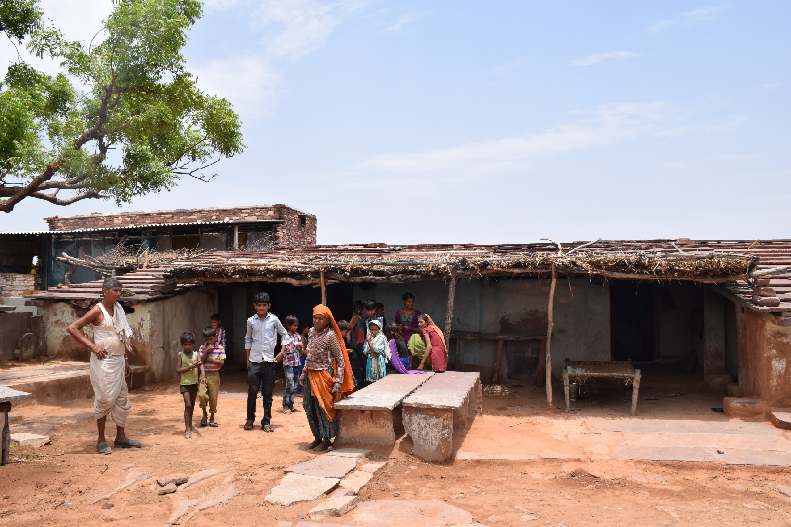
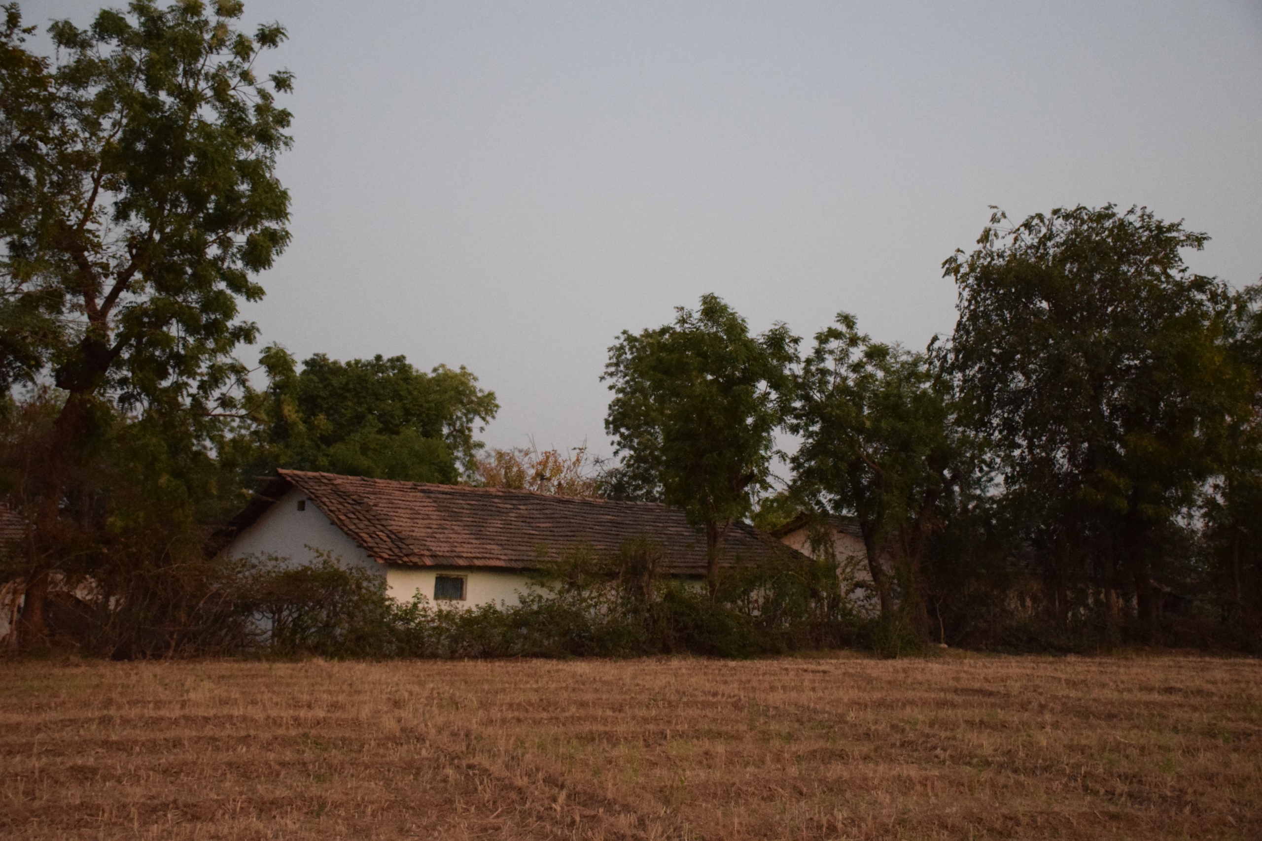
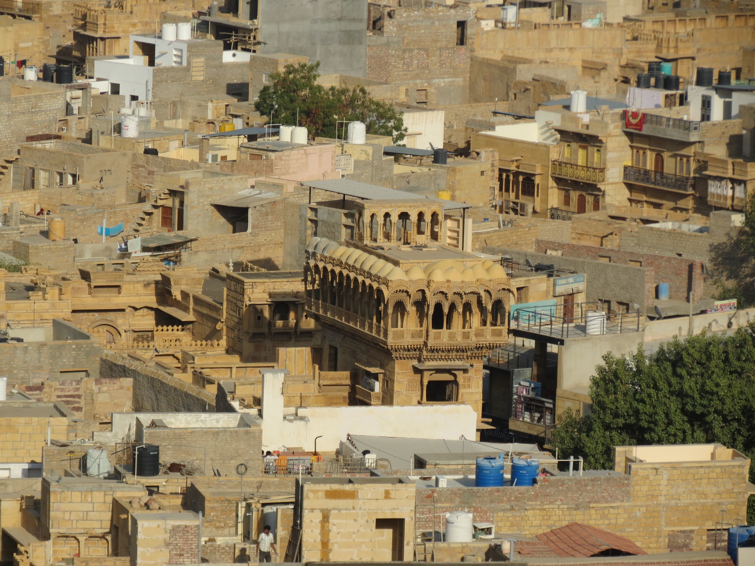
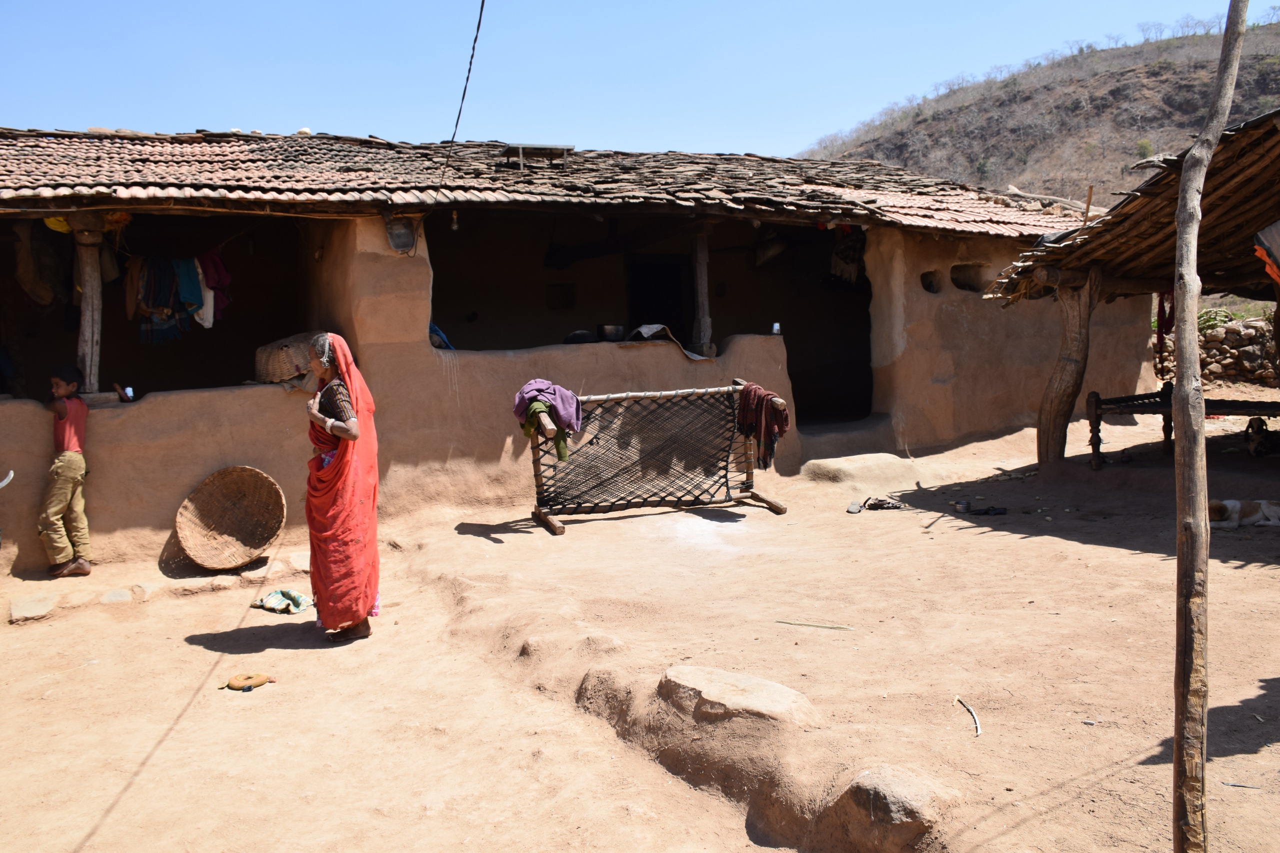
Marwar region is the largest region in Rajasthan. Lying to the west, it comprises of Barmer, Jaisalmer, Bikaner, Jodhpur and Sri Ganganagar. The language Marwari is spoken across this region, and is one of the most widely spoken dialects of Rajasthani. The landscape in Marwar is dry with scrubby trees. A typical house in the villages of Marwar is made of mud with a thatched roof.
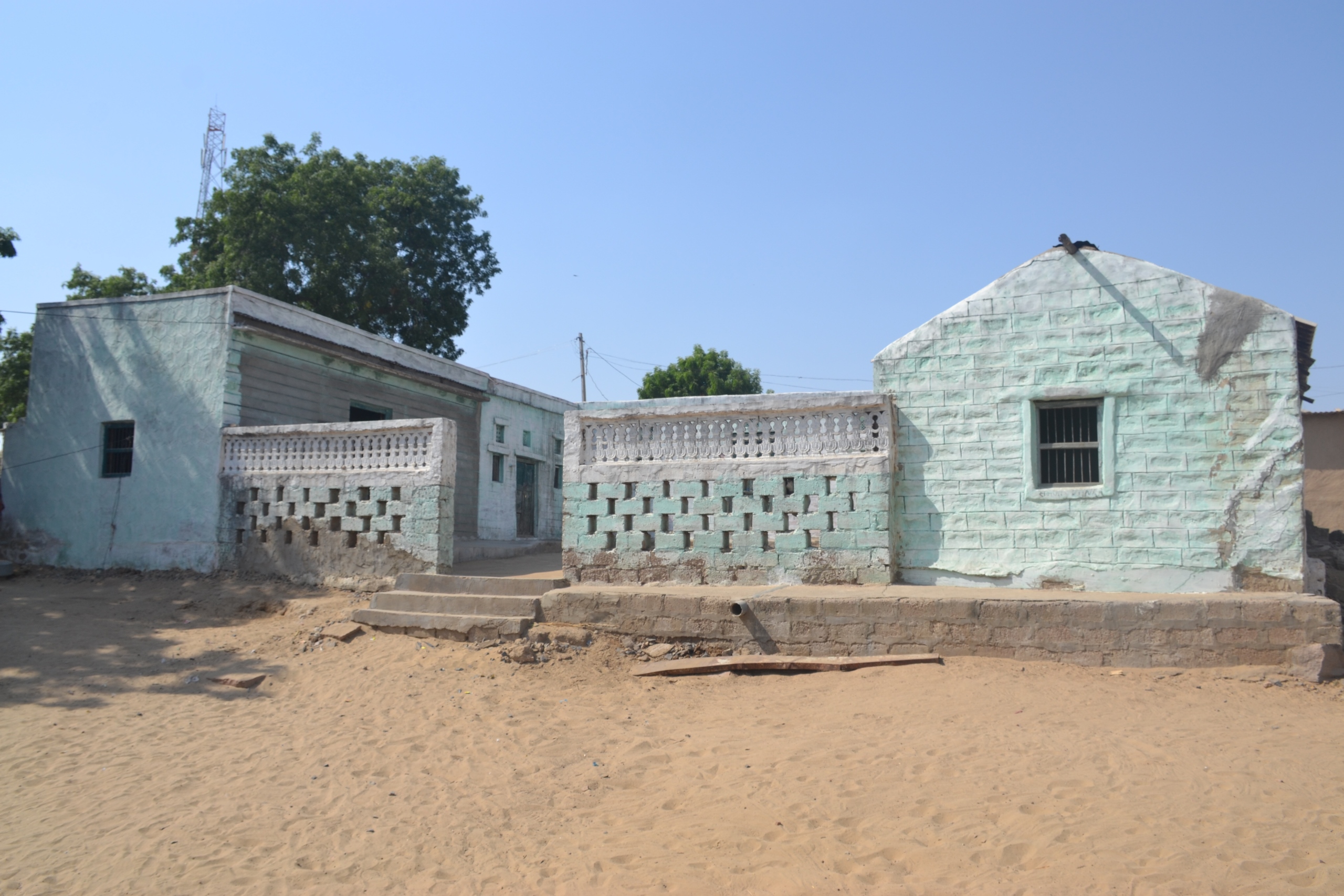
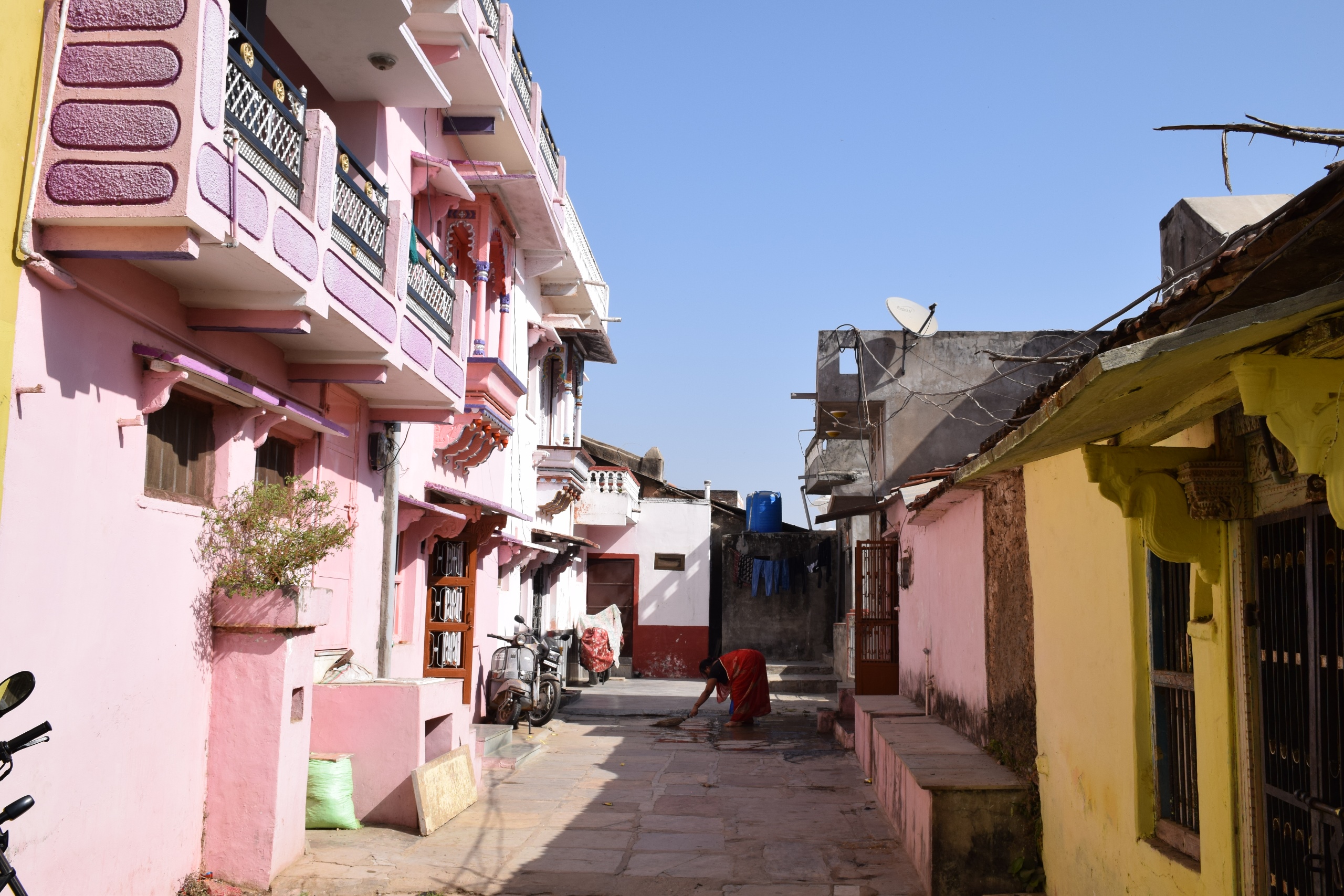
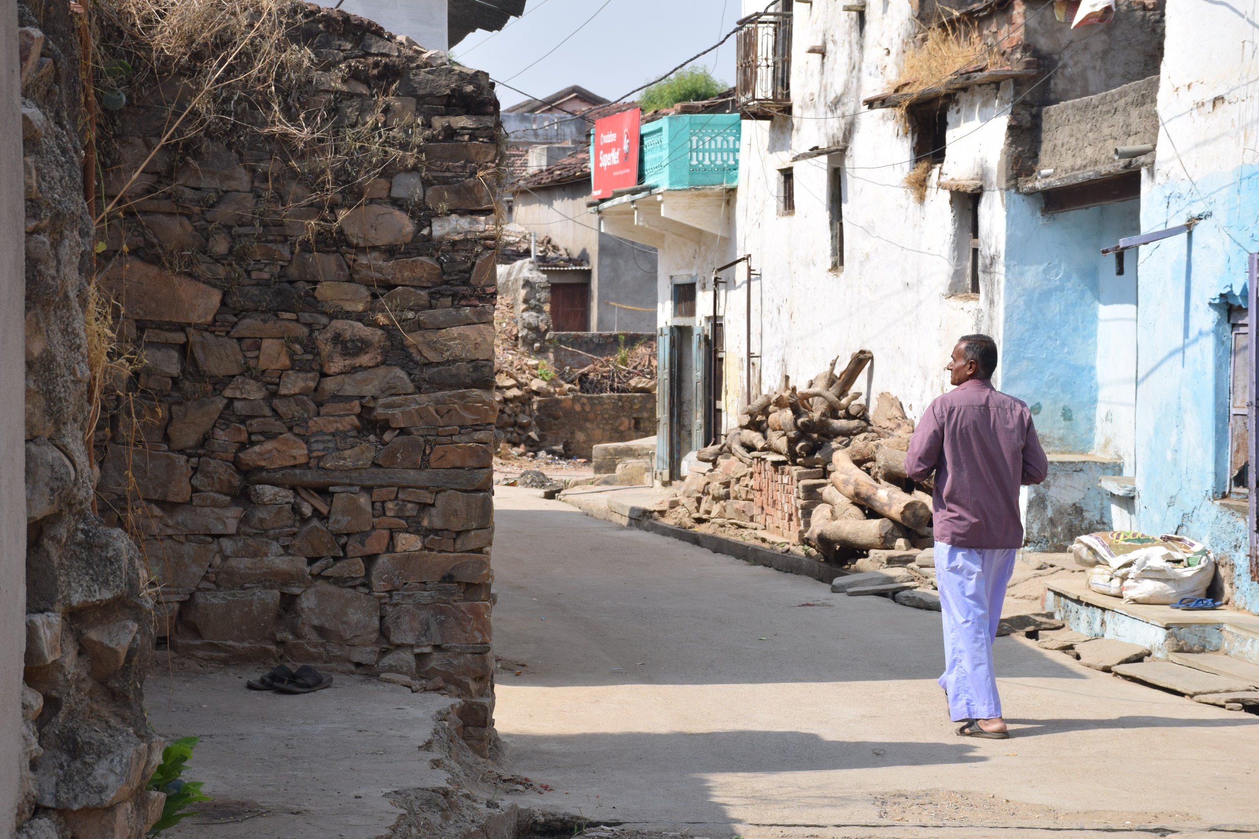
Godwad region comprises of Jalore, Sirohi and Pali districts. In the local dialect, Godwad means ‘area in the foothills’, and is situated in the foothills of the Aravalli range. Geographically, this region lies close to the border of Gujarat and has many similarities in the landscape and life, which can be seen across the border. In Godwad, stone is commonly used for construction and the region is famous for the white makrana marble, which was used to construct the temples at Mount Abu and the Taj Mahal.
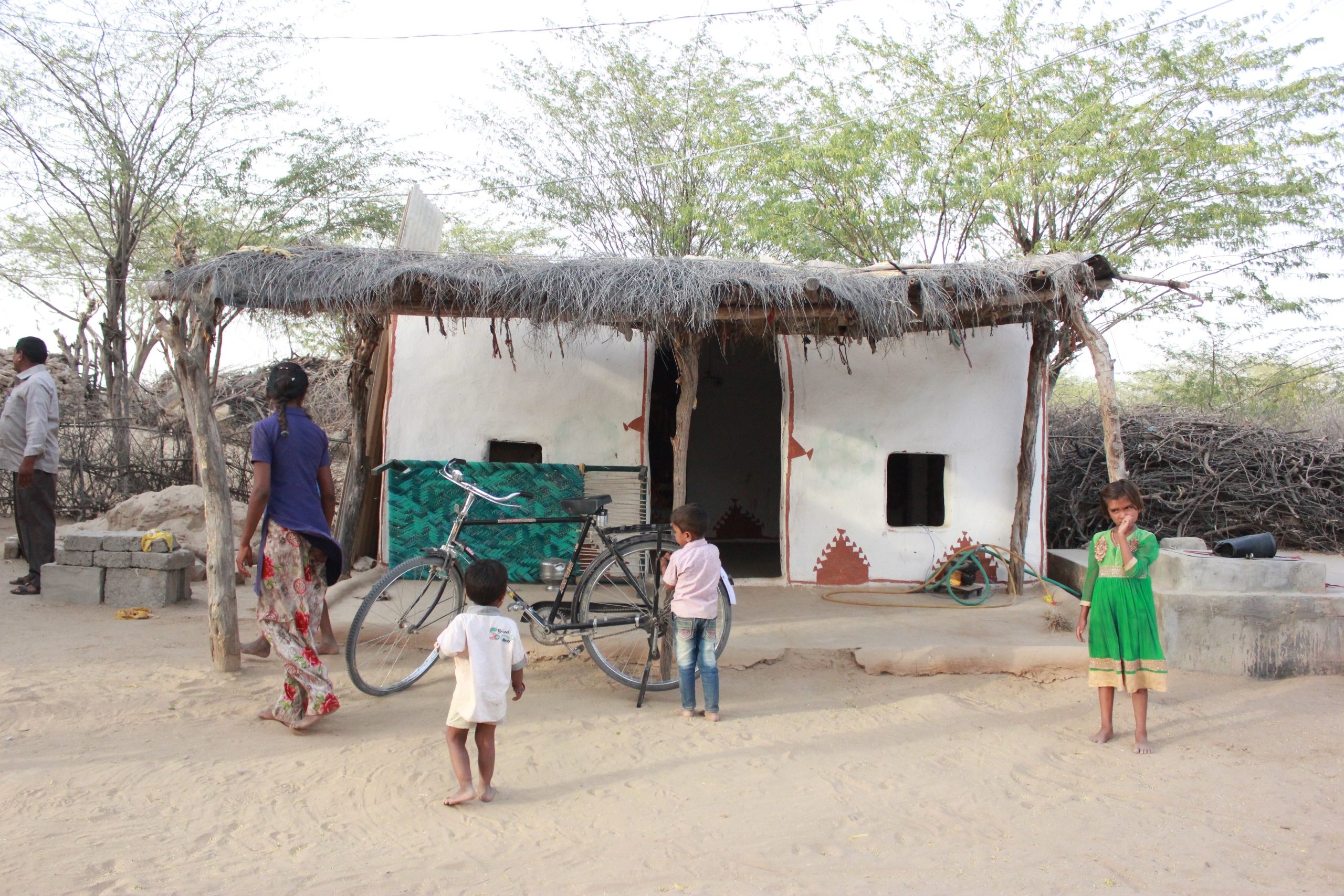
Vagad, comprises of Dungarpur and Banswara districts, which borders the northern parts of Gujarat. It is bound on the north by Mewar region, on the southeast and east by the Malwa region of Madhya Pradesh, and to the west and southwest by Gujarat. Mahi river flows north through Banswara district and forms a boundary between Banswara and Dungarpur districts before entering Gujarat. Vagad has rich flora and fauna with forests mainly including teak and bamboo. The population in Vagad region also includes a large Adivasi population who practice agricultural labour and other jobs in towns.
Mewar region comprises of Udaipur, Pratapgarh, Chittorgarh, Rajsamand and Bhilwara districts. Climatically, this region falls between the sub-humid in the south eastern part to semi-arid in the north and northwest. Two rivers Banas and Berach and their tributaries flow through Mewar region. It has fertile black cotton soil and receives adequate rainfall. The main crops grown here include wheat, sugarcane, mustard, millet and maize. The semi-arid region to the north supports vegetation like thorny bushes, grasses like ker and trees like khejdi and babul.
Hadoti region comprises of Bundi, Baran, Kota and Jhalawar. The region gets its name from the Hada Rajpurs who historically ruled the region. Hadoti is known for its patronage of art and sculpture. The palaces of Bundi and Kota have exemplary fresco work on their walls. The Aravalli range also passes through Hadoti region making it rich in biodiversity.
The districts of Nagaur and Ajmer form the Merwara region. It is also known as the Ajmer region as Ajmer is the administrative centre. This region produces rohida and sheesham trees. Other trees produced here are ber and babool. The region also produces leather made from buffalo, which is used to make footwear, bags, and to join or weave parts of furniture and tools.
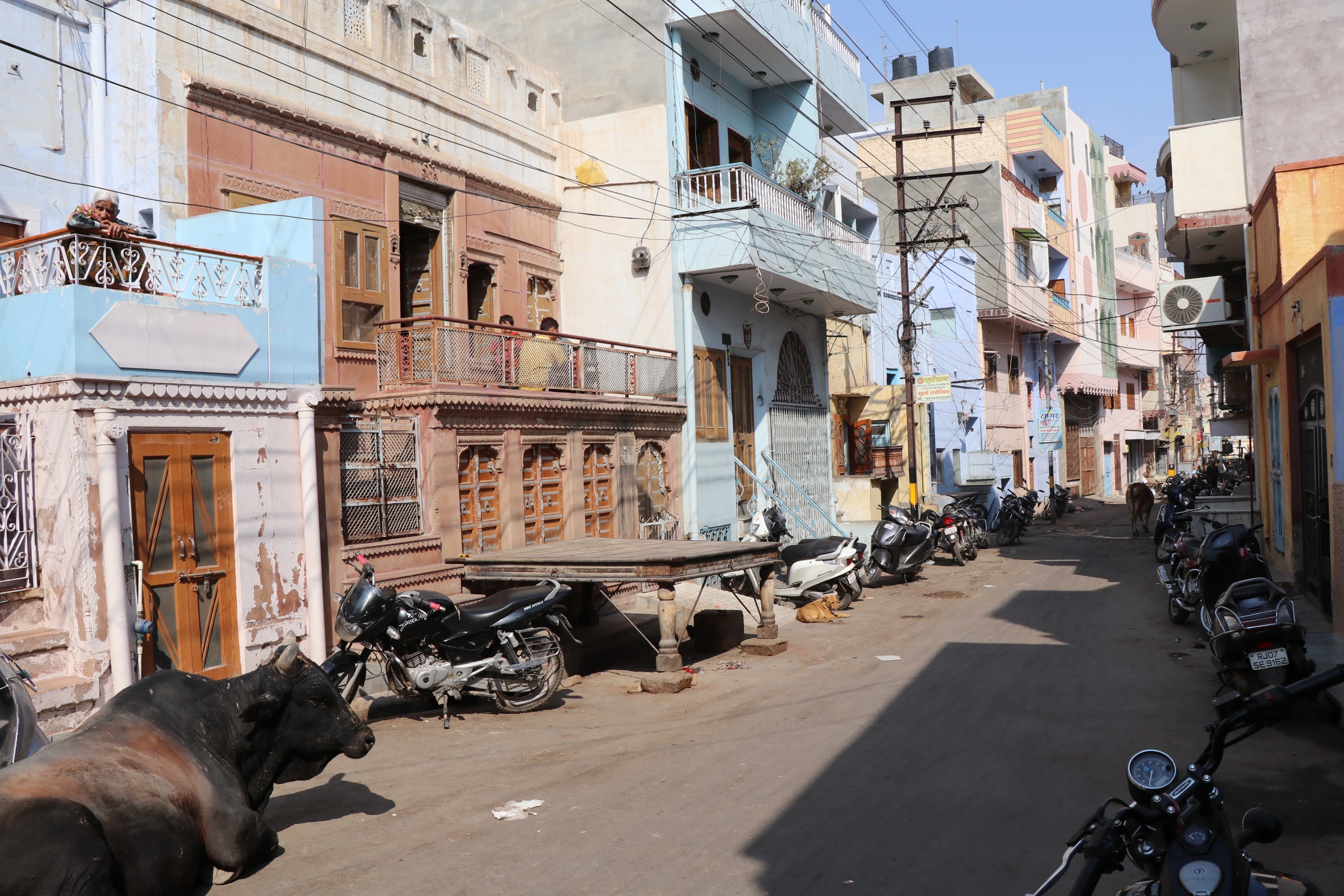
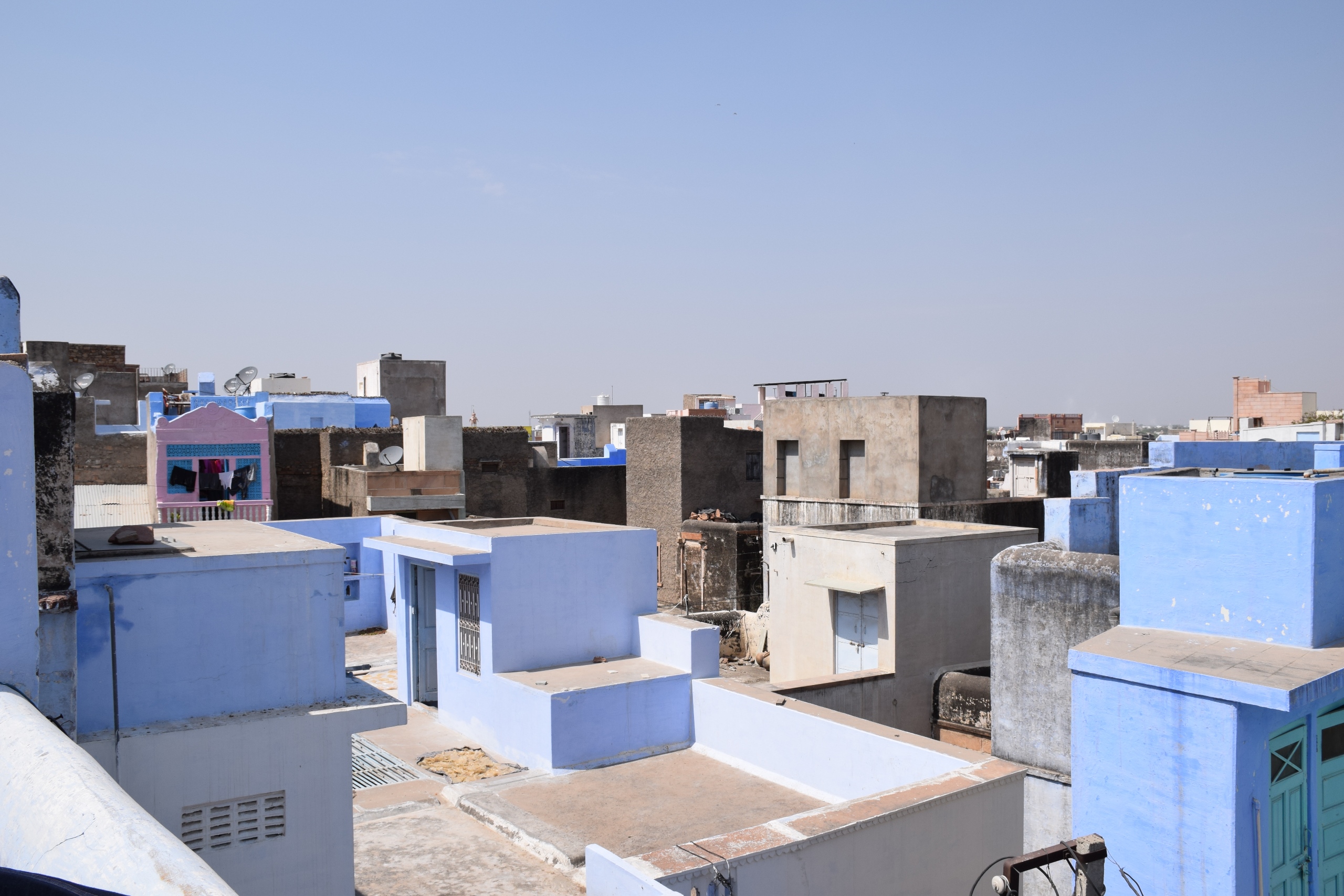
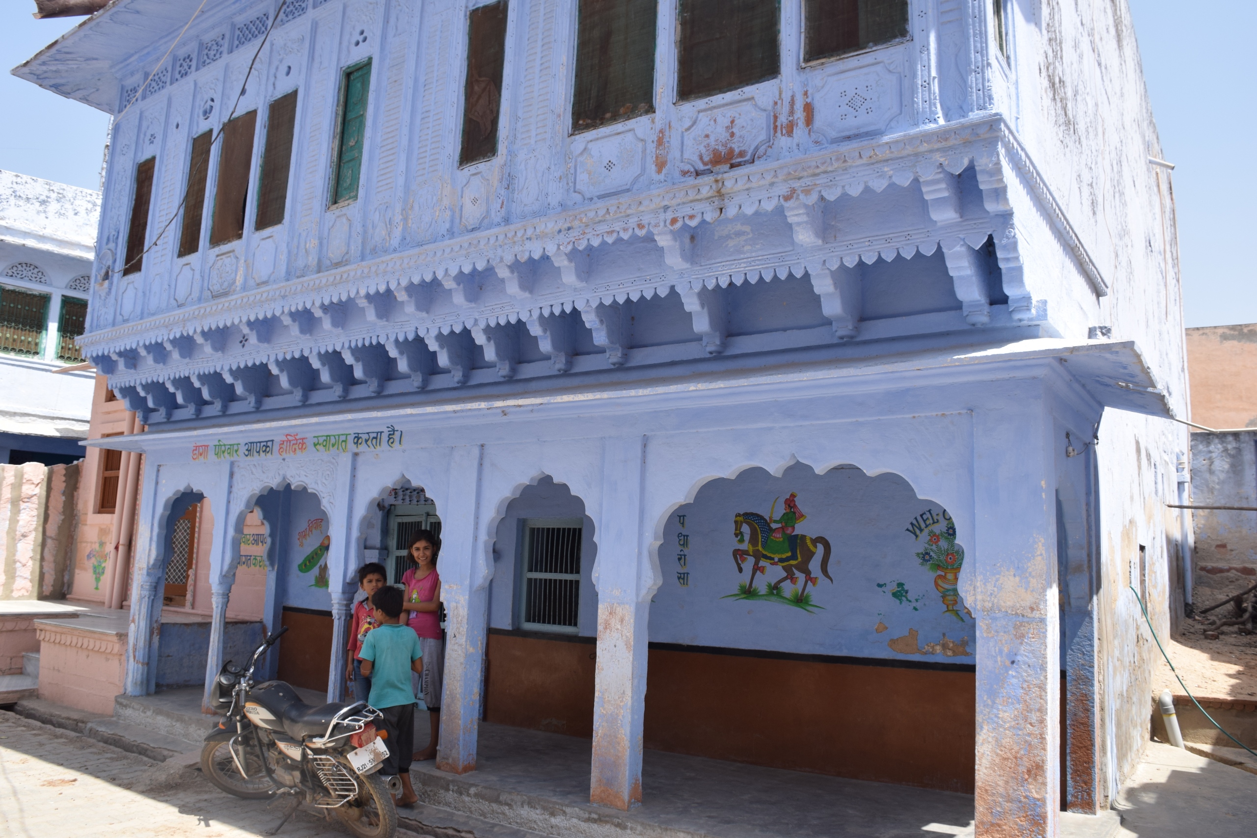
Jaipur and Dausa district make up the Dhundhar region of Rajasthan. Its name is derived from ‘dhund’ meaning desert wasteland, because not much vegetation grows, except thorny shrubs and scrubby trees. Jaipur, also known as the ‘Pink City’, takes its name from the cream-pink coloured sandstone that is extensively used in the construction of buildings in Jaipur. In the villages in Dausa, sheep and buffalo husbandry and agriculture are common occupations.
Mewat-Brij region of Rajasthan comprises of Alwar, Bharatpur, Karauli, Dholpur, Sawai Madhopur and Tonk districts. It covers the eastern part of Rajasthan and is bordered by Haryana and Uttar Pradesh. This region is the house to many of Rajasthan’s National parks. Alwar lies to the northernmost part of the region. The hills of Alwar are rocky and form a part of the Aravalli range. Bharatpur, Dholpur, Karauli, Sawai Madhopur and Tonk form a part of the eastern plains of Rajasthan. The northern part of Karauli is mountainous. It has small and sparse settlements with small houses and large courtyards.
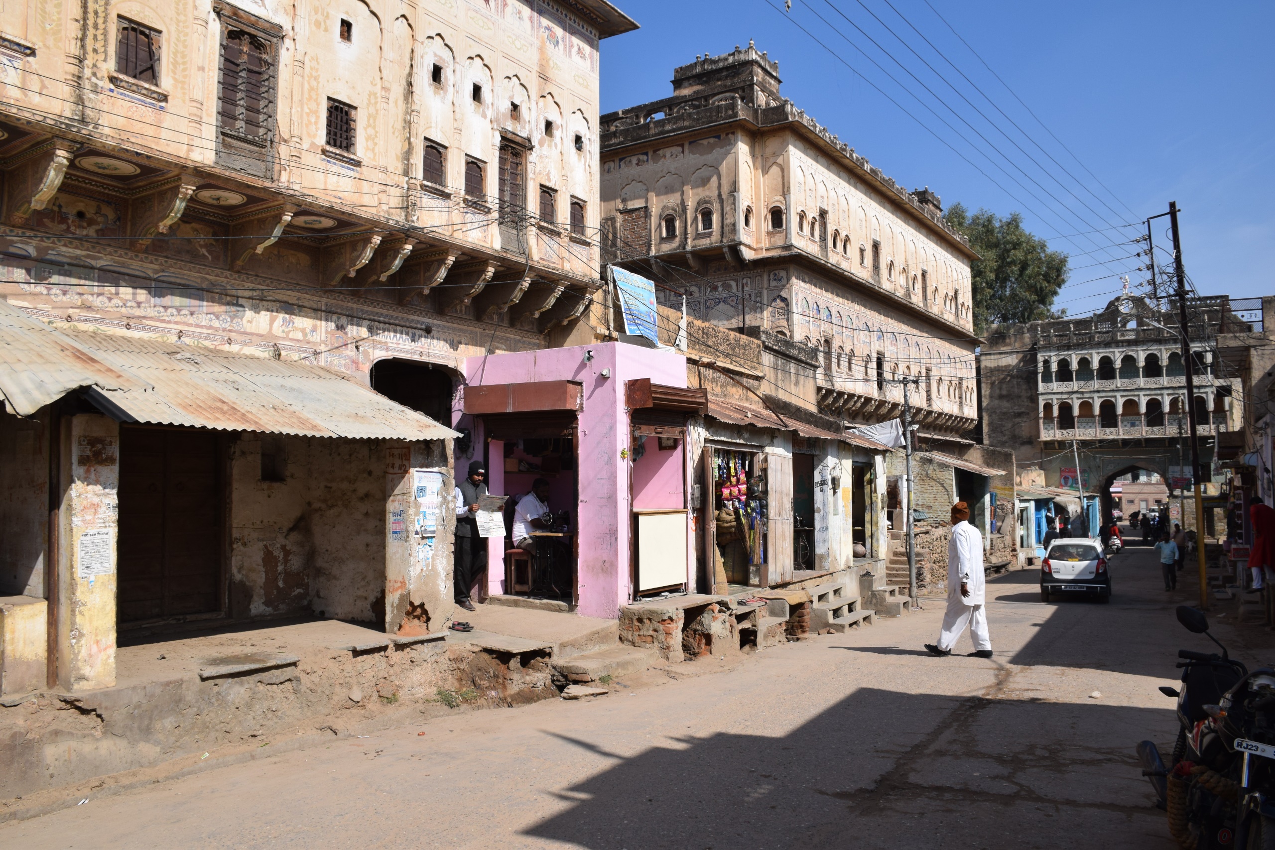
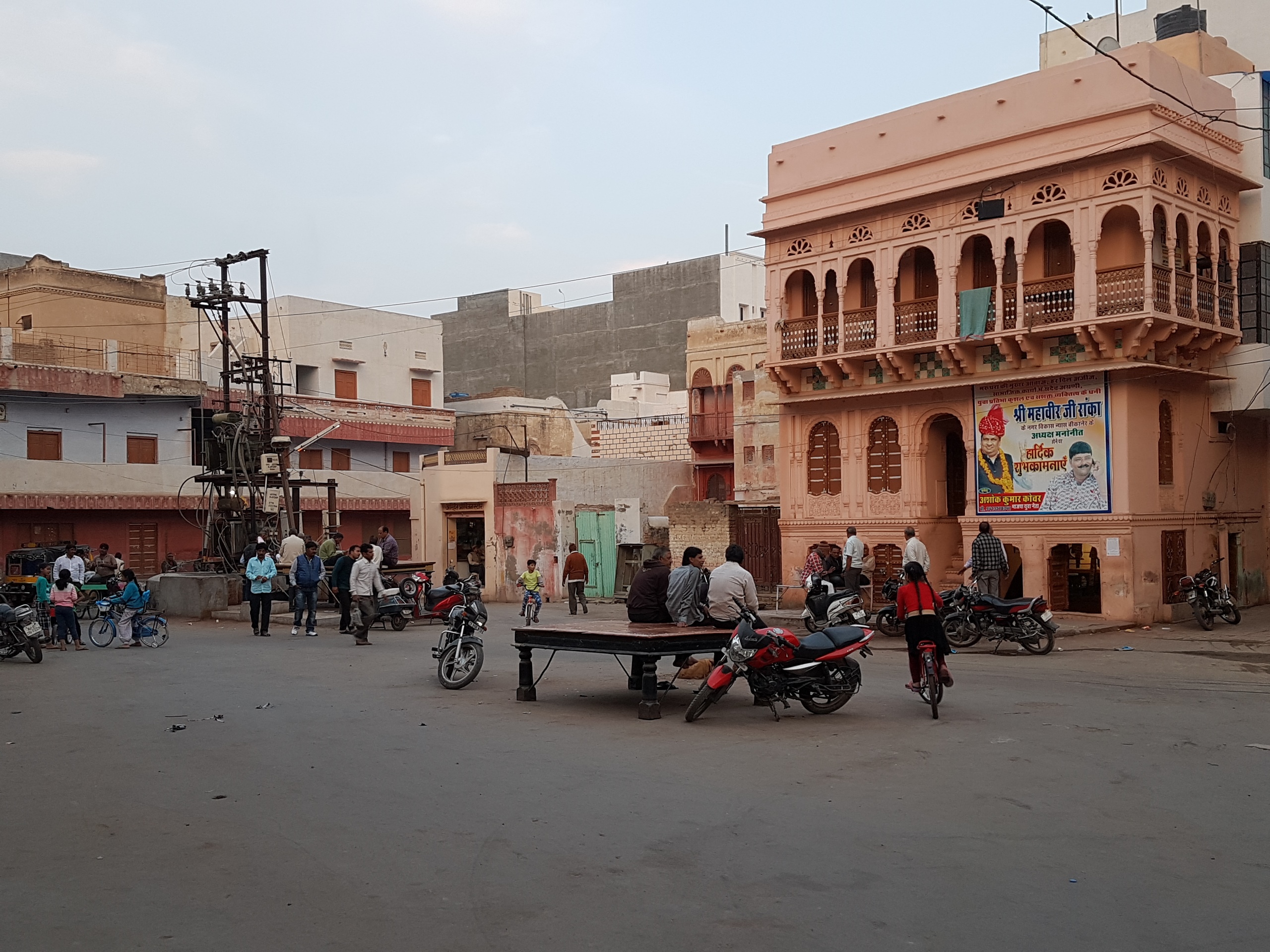
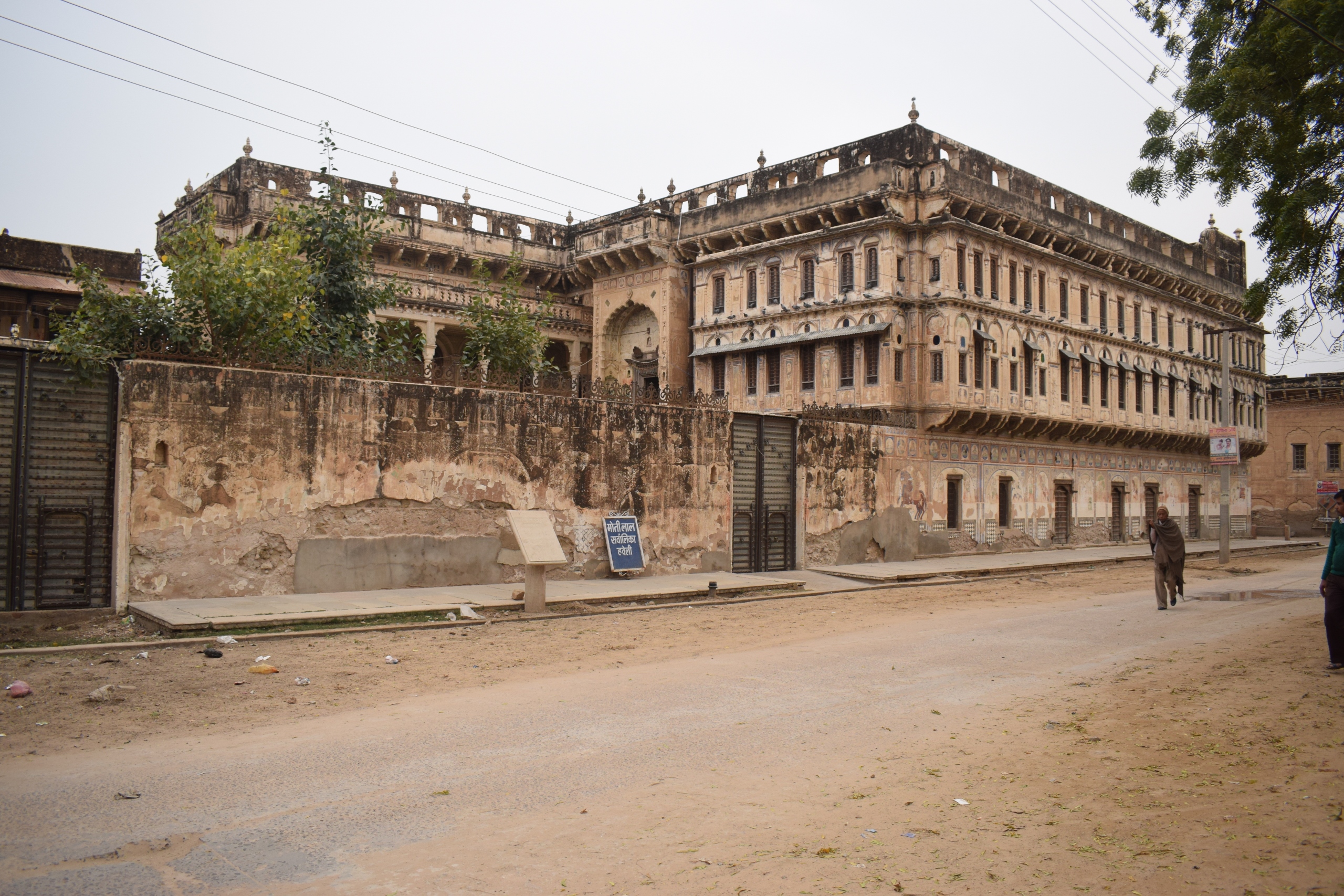
Shekhawati is the northern, semi-arid region of Rajasthan. Districts of Churu, Jhunjhunu and Sikar form this region. Many wealthy merchants and bankers in India built havelis here during the British Raj. Local crafts were promoted during the time when there was a building boom, and painters were commissioned to create frescoes. The landscape in this region is arid with groups of rohida trees surrounding the water sources. The towns have many havelis clustered among its lanes. The havelis have large courtyards which form the most important part of the building in this region.
Loading places visited..
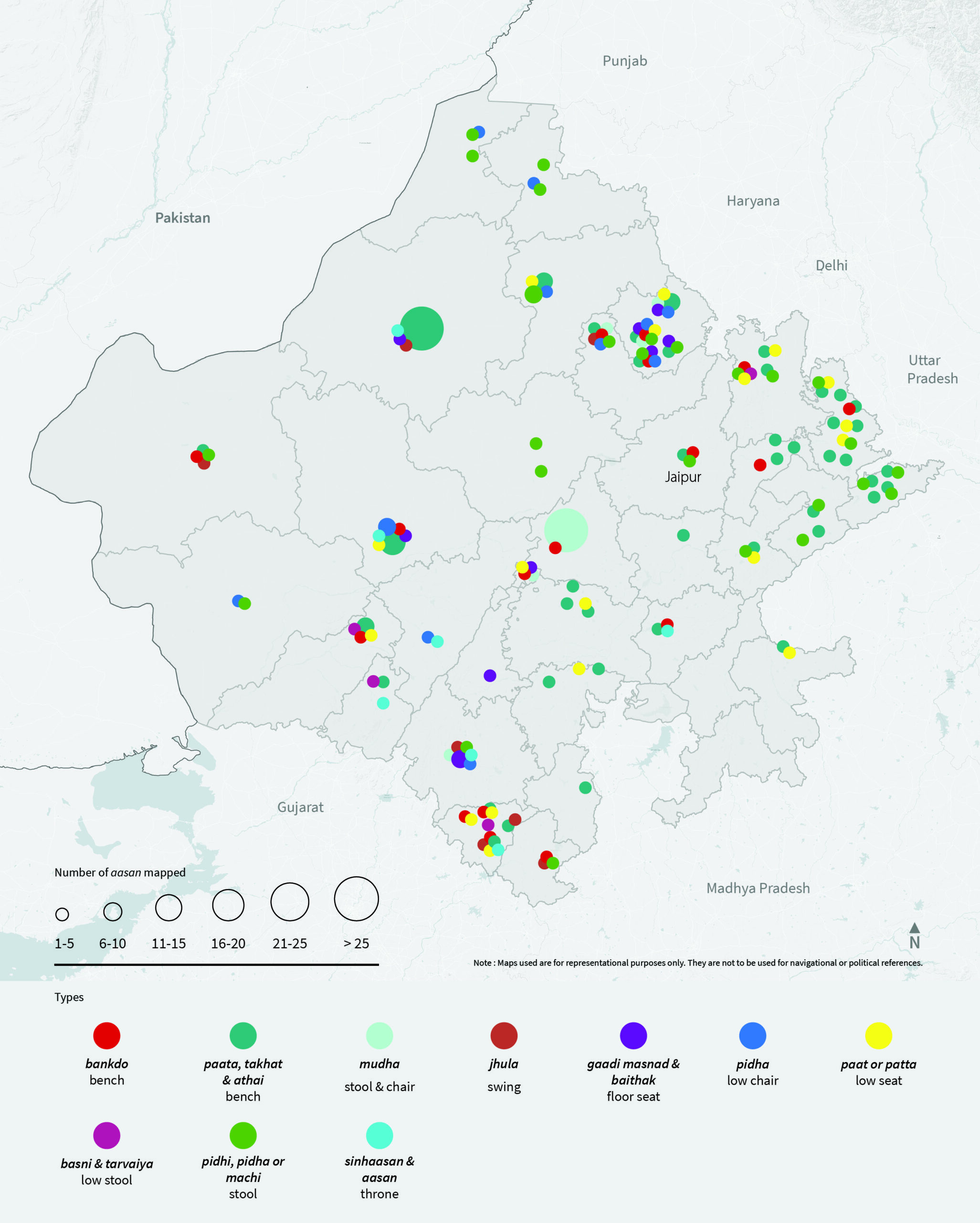
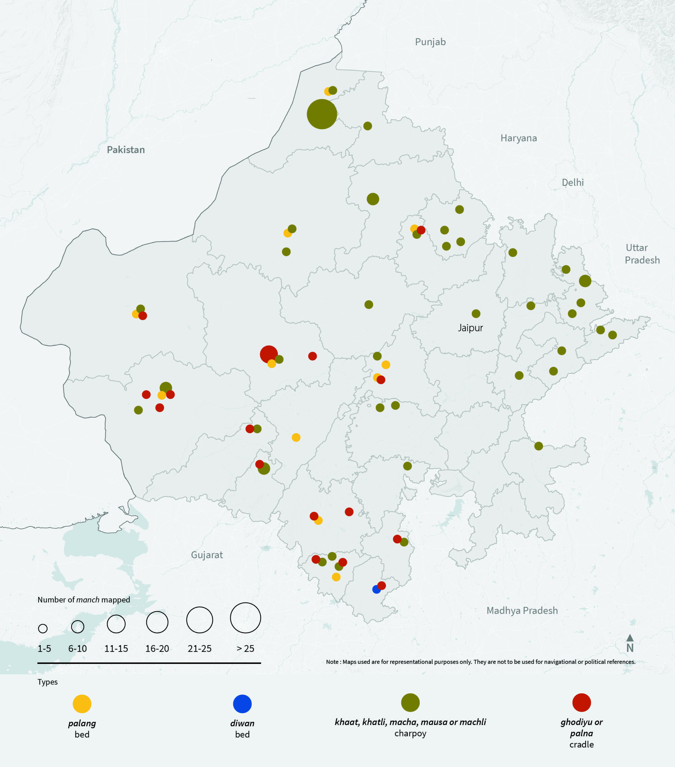
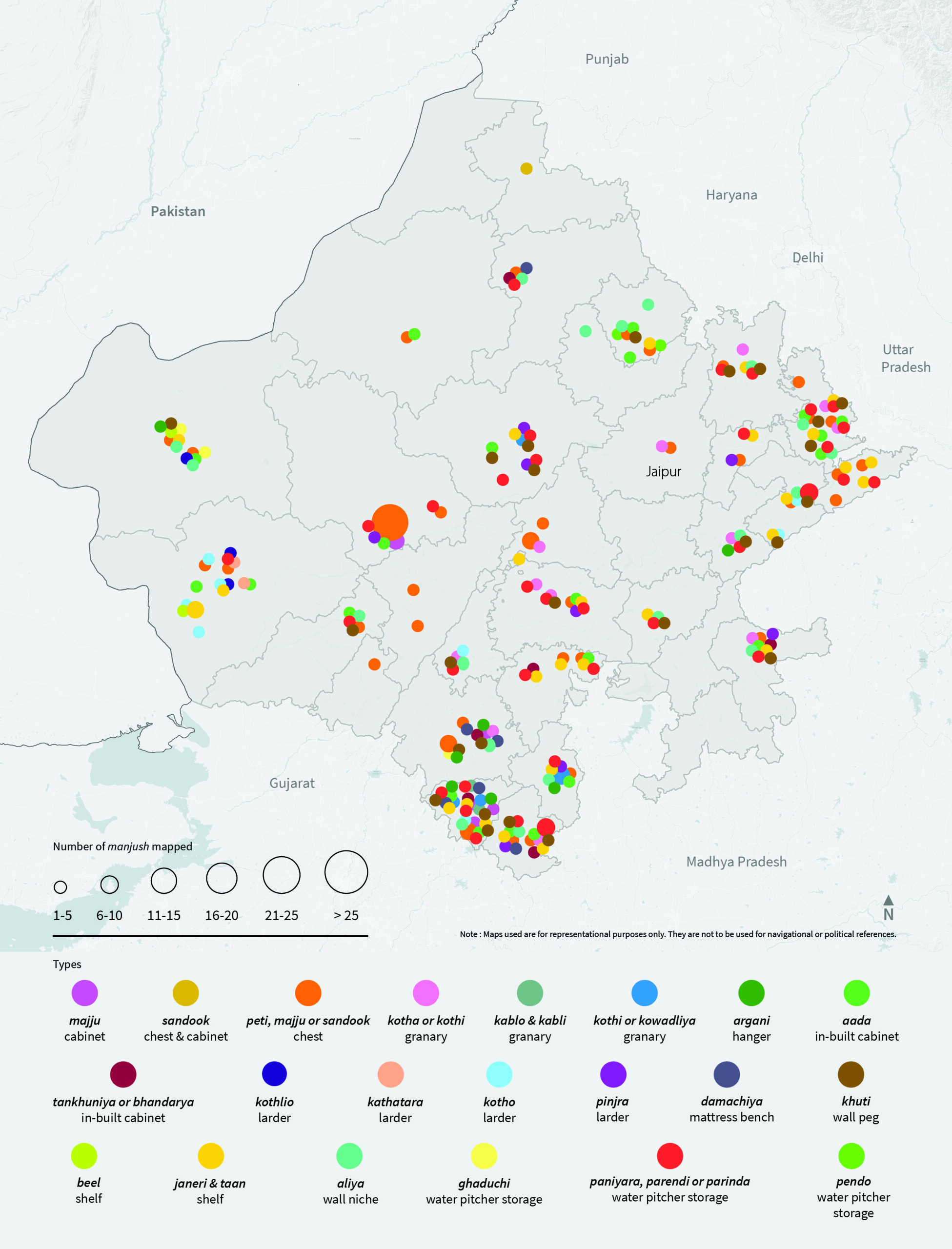
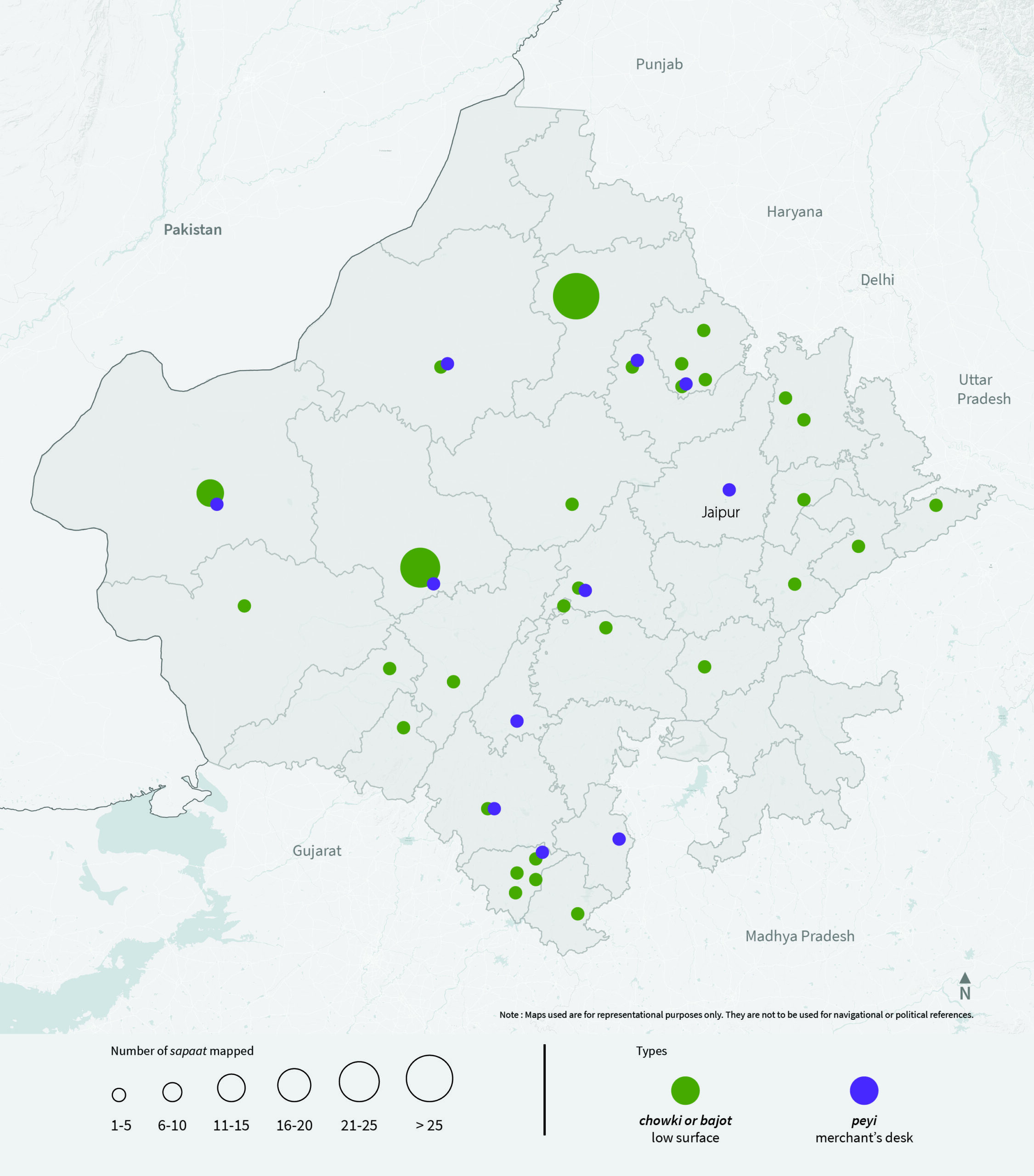
Majju (Cabinet)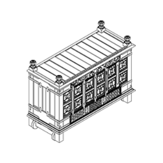 Sandook (Cabinet)
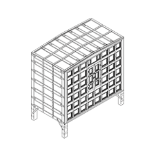 Peti, majju or sandook (Chest)
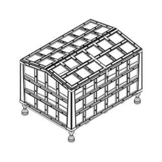 Kotha or kothi (Granary)
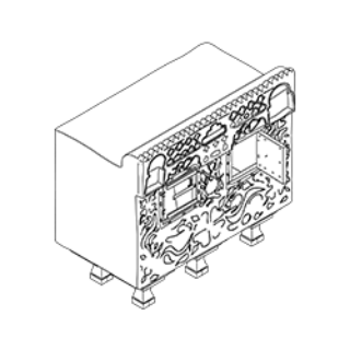 Kablo & kabli (Granary)
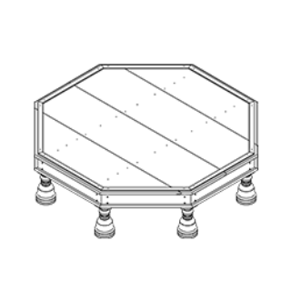
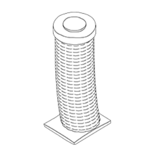 Kothi or kowadliya (Granary)
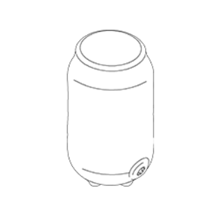 Aada (In-built cabinet)
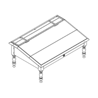
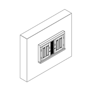 Tankhuniya or bhandariya (In-built cabinet)
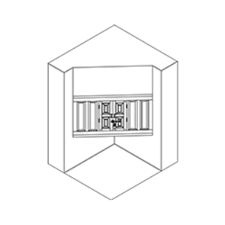 Kathatara (Larder)
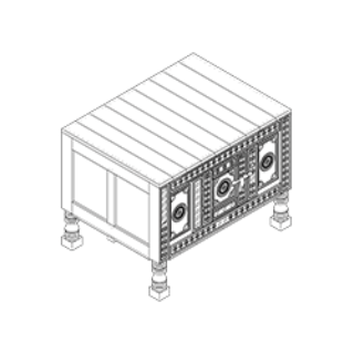 Kothlio (Larder)
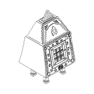 Kotho (Larder)
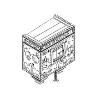 Pinjra (Larder)
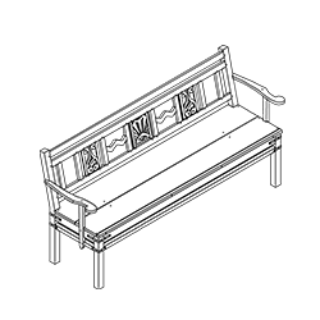
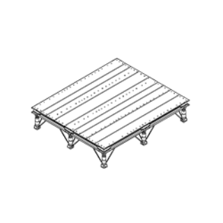
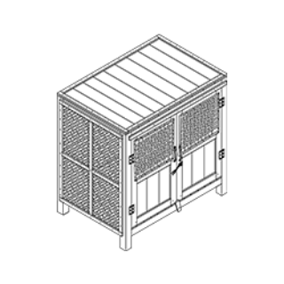 Damachiya (Mattress bench)
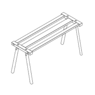 Beel (Shelf)
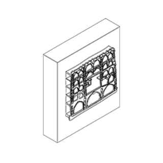 Janeri & taan (Shelf)
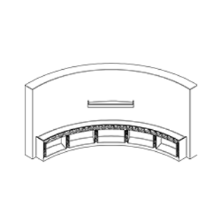 Aliya (Wall niche)
 Paniyara, parendi or parinda (Water pitcher storage)
 Pendo (Water pitcher storage)
 Ghaduchi (Water pitcher storage)
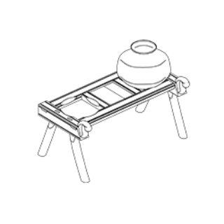 Khuti (Wall peg)
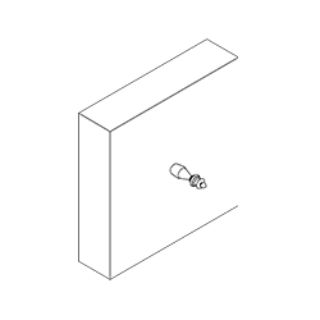 Argani (Hanger)
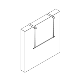
Sandook (Cabinet)
Peti, majju or sandook (Chest)
Kotha or kothi (Granary)
Kablo & kabli (Granary)
Kothi or kowadliya (Granary)
Aada (In-built cabinet)
Tankhuniya or bhandariya (In-built cabinet)
Kathatara (Larder)
Kothlio (Larder)
Kotho (Larder)
Pinjra (Larder)
Damachiya (Mattress bench)
Beel (Shelf)
Janeri & taan (Shelf)
Aliya (Wall niche)
Paniyara, parendi or parinda (Water pitcher storage)
Pendo (Water pitcher storage)
Ghaduchi (Water pitcher storage)
Khuti (Wall peg)
Argani (Hanger)
Rihyal (Book stand) Mir farsh (Carpet weight)
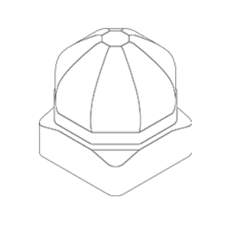 Peti (Casket)
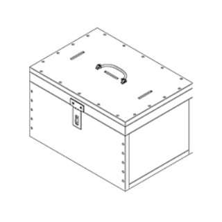 Bilona or Valona (Churner)
 Katordaan or Talakhuta (Container)
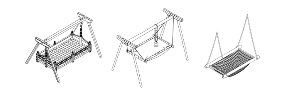
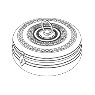 Jhula (Cradle)
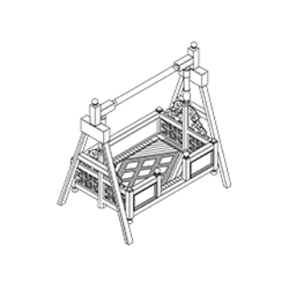 Pankha (Fan)
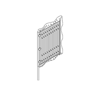 Daabno (Food cloche)
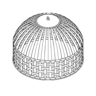 Silvatta lodhi (Grinding stone)
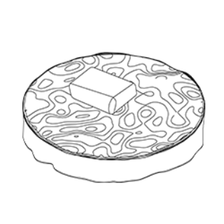 Ghatti or Chakki (Hand mill grinder)
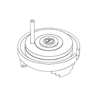 Kharal (Mortar)
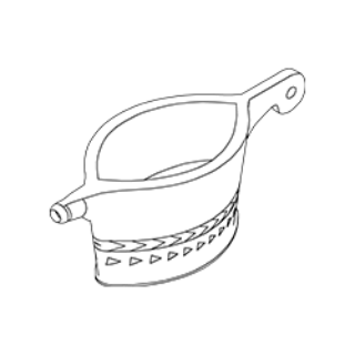 Musal okhli or Ukhal (Mortar & Pestle)
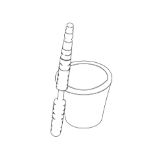 Induni (Pot ring)
 Mandir (Shrine)
 Kaawad (Shrine)
 Charkha (Spinning wheel)
 Tambaccu daan (Tobacco box)
 Chhavla (Winnower)
Mir farsh (Carpet weight)
Peti (Casket)
Bilona or Valona (Churner)
Katordaan or Talakhuta (Container)
Jhula (Cradle)
Pankha (Fan)
Daabno (Food cloche)
Silvatta lodhi (Grinding stone)
Ghatti or Chakki (Hand mill grinder)
Kharal (Mortar)
Musal okhli or Ukhal (Mortar & Pestle)
Induni (Pot ring)
Mandir (Shrine)
Kaawad (Shrine)
Charkha (Spinning wheel)
Tambaccu daan (Tobacco box)
Chhavla (Winnower)
Vernacular Furniture of Rajasthan – Newsletter 1
Newsletters
January 2017
Vernacular Furniture of Rajasthan – Newsletter 2
Newsletters
January 2018
Vernacular Furniture of Rajasthan – Newsletter 3
Newsletters
February 2017
Vernacular Furniture of Rajasthan – Newsletter 4
Newsletters
March 2017
Vernacular Furniture of Rajasthan – Newsletter 5
Newsletters
April 2017
Vernacular Furniture of Rajasthan – Newsletter 6
Newsletters
May 2017
Vernacular Furniture of Rajasthan – Newsletter 7
Newsletters
June 2017
Vernacular Furniture of Rajasthan – Newsletter 8
Newsletters
July 2017
Rajasthan Field visit 1
Activities
January 2017
Rajasthan Field visit 2
Activities
January 2017
Rajasthan Field visit 5
Activities
April 2017
Rajasthan Field visit 6
Activities
May 2017
Students’ field visit
Activities
January 2018
Students’ field visit
Activities
January 2019
A cultural and contextual interpretation of the vernacular furniture of Rajasthan
Author:
Mansi S Rao
Reports
2018
Tectonics of Majju: an analogical research on the vernacular cabinets of Rajasthan
Author:
Samrudha Dixit
Reports
2019
Bilona: Butter Churners of Rajasthan
Short films