
Gujarat
Gujarat is the most westerly of the Indian states. The current state borders were finalized in the year 1960. To the west is the Arabian Sea, full of historic connections and trade routes. To the south is Maharashtra, and to the east is Madhya Pradesh. Rajasthan and the Pakistani province of Sindh lie to the north, states that contained old overland trade routes, notably a southern spur of the Silk Road. Gujarat has an area of 196,024 square kilometres. The coastline stretches for over 16,000 kilometres.
1380
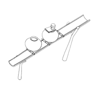
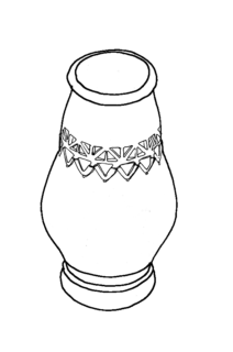
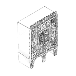
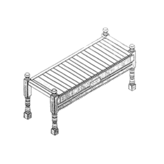
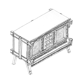
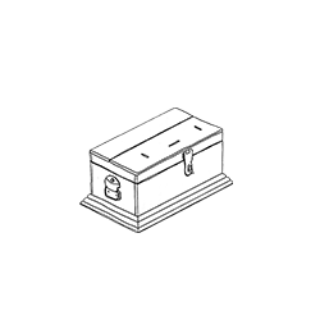
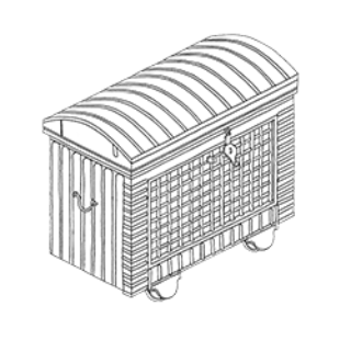
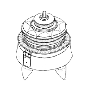
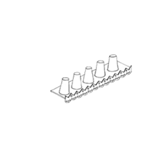
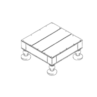
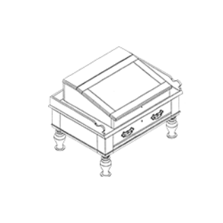
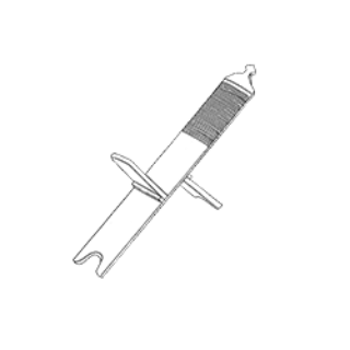
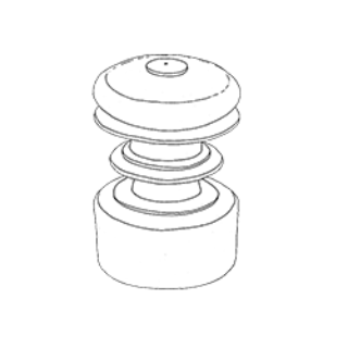
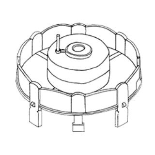
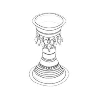
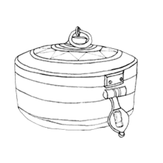
Furnituredocumented
13716
Distancetravelled (km)
610
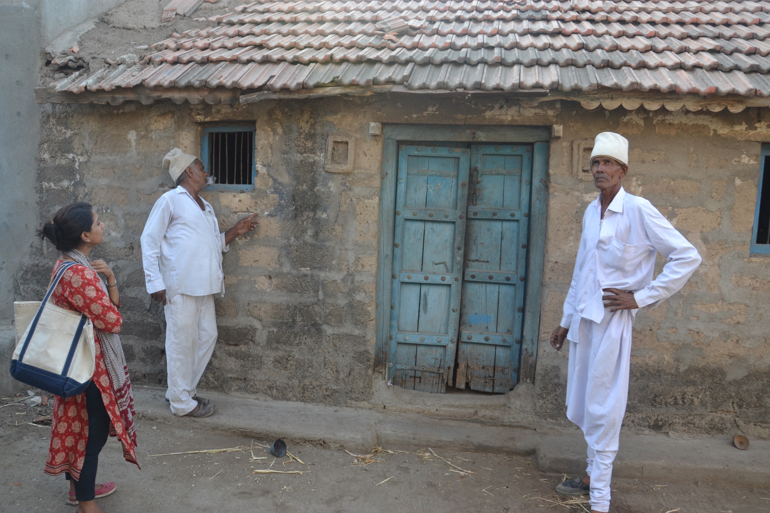
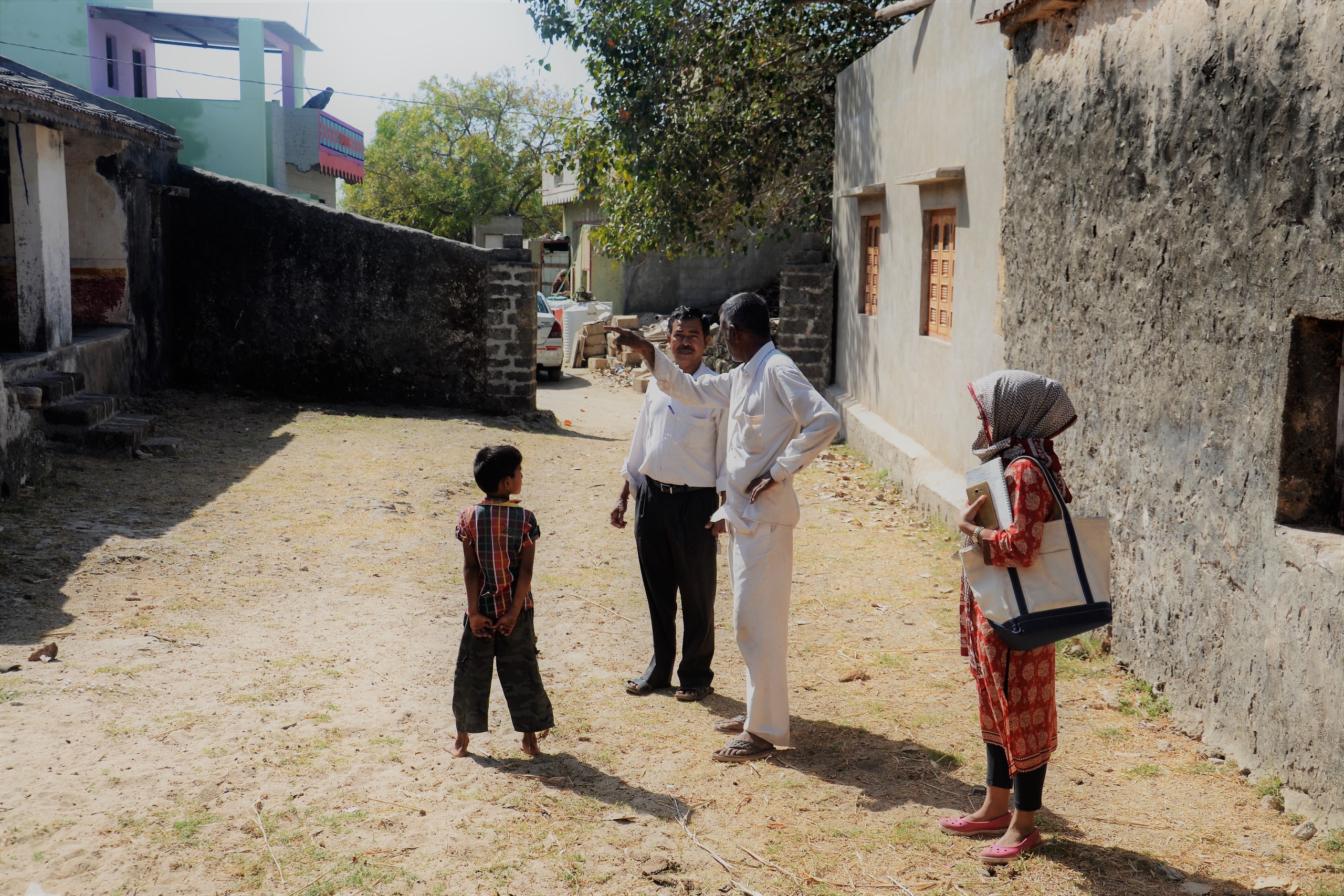
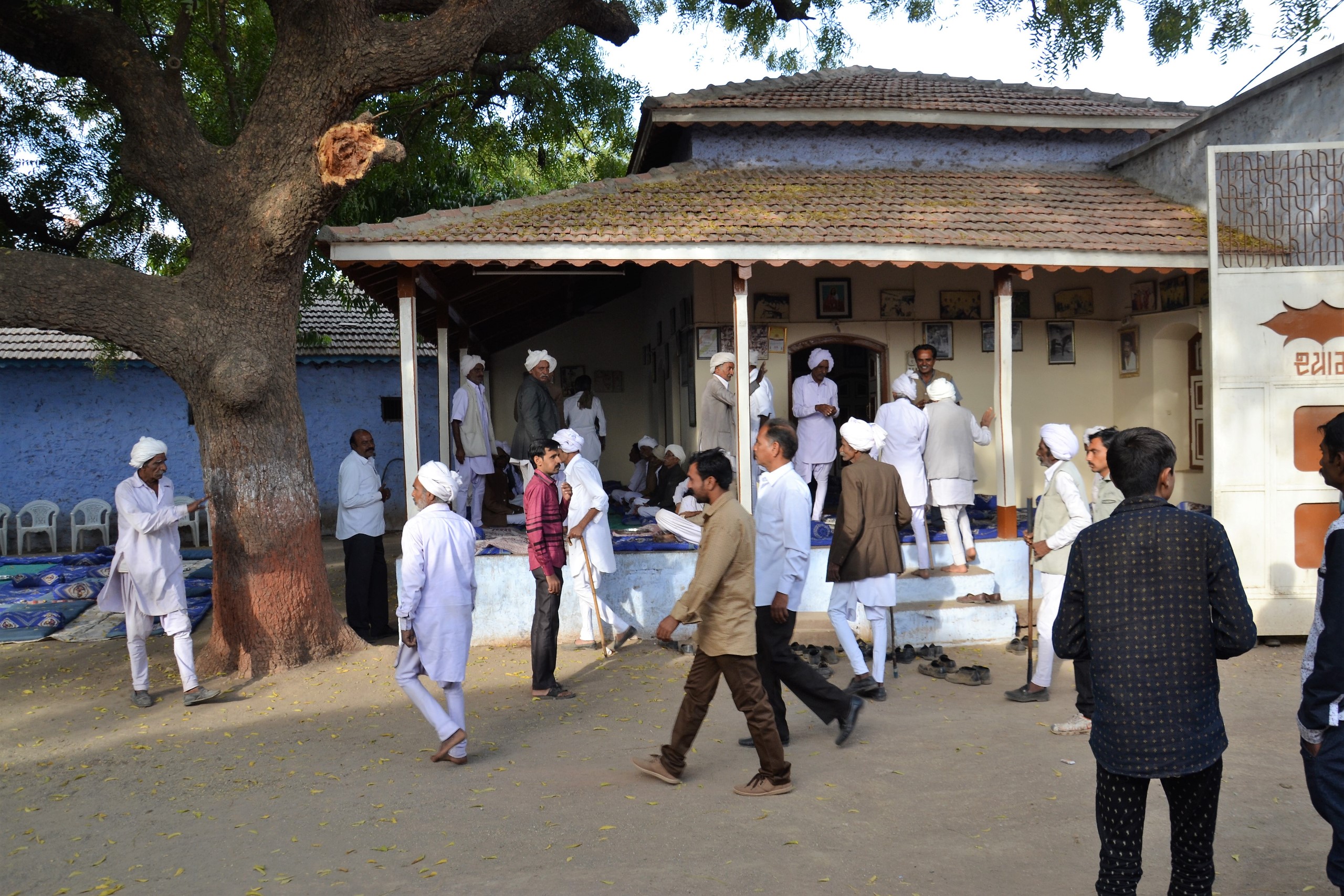
Peoplemet
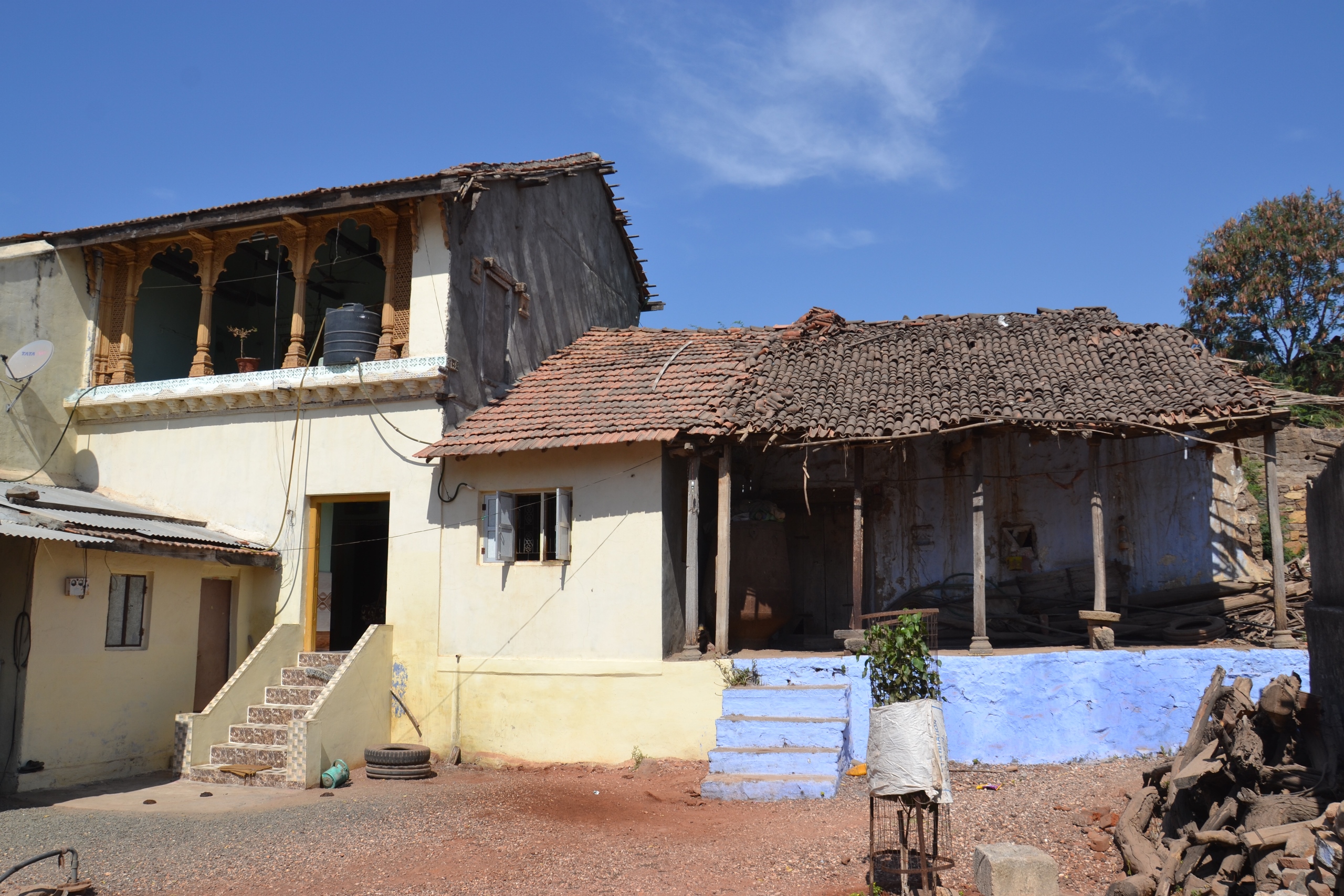
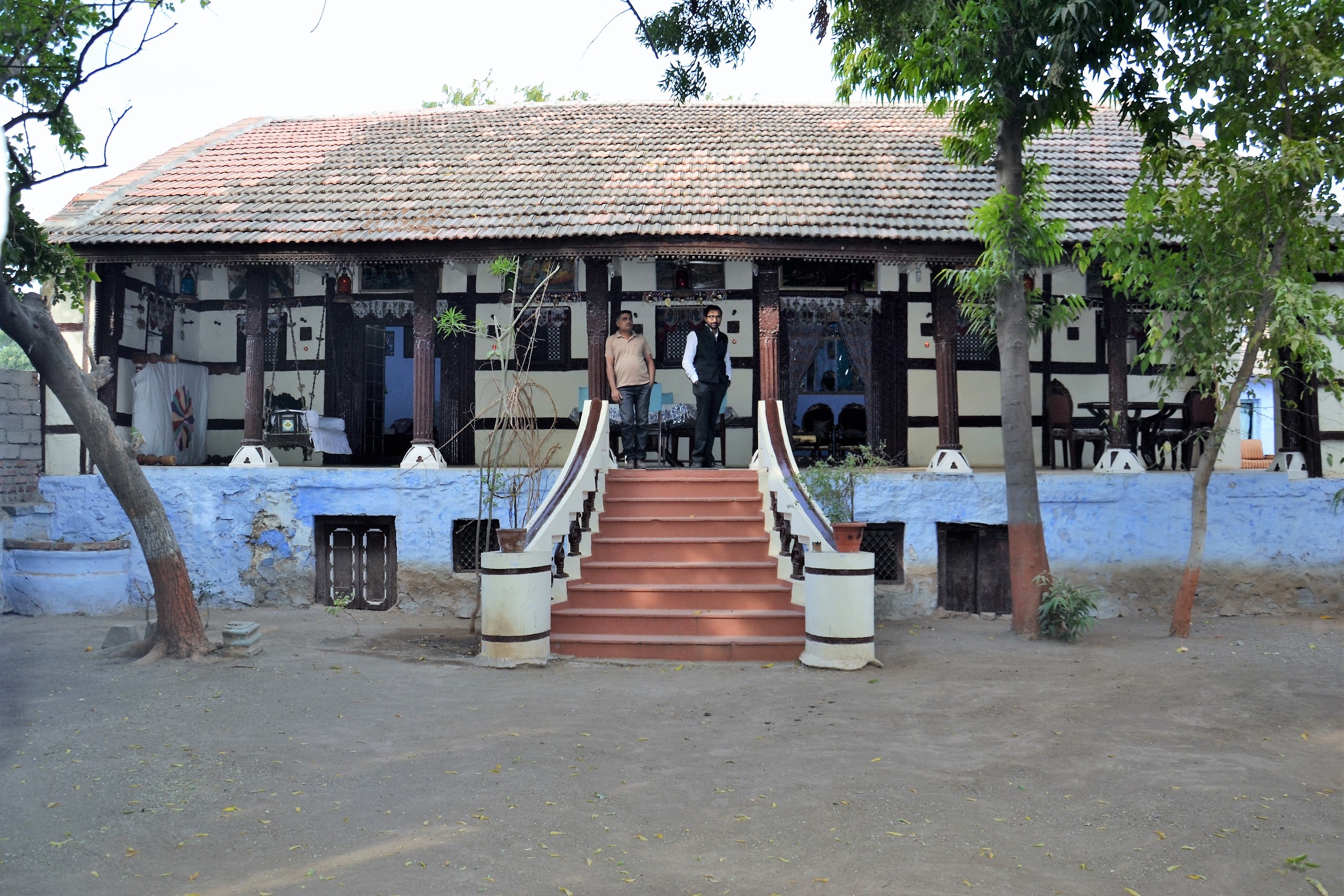
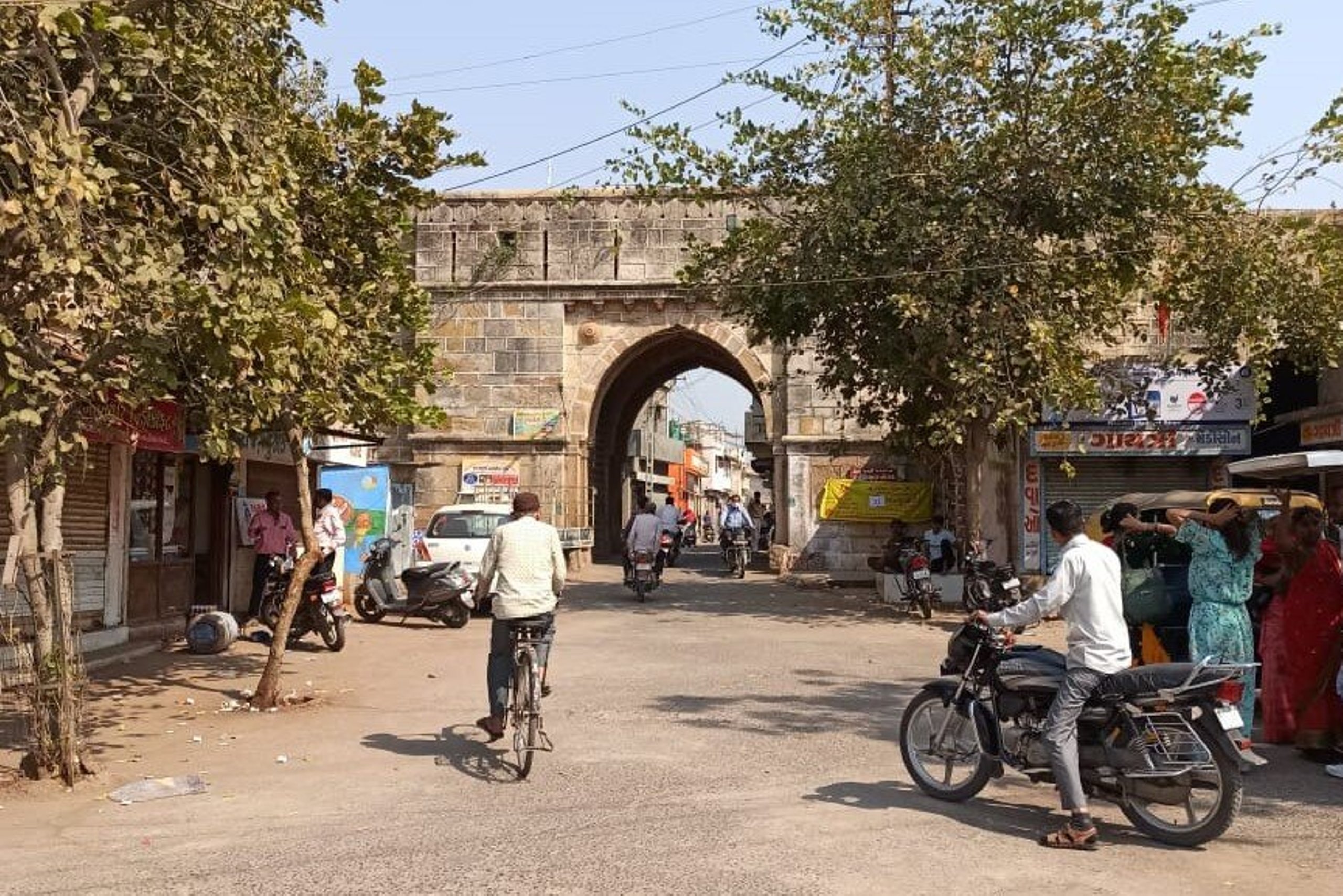
Gujarat is divided into six regions – North, Central, East, South, Saurashtra and Kutch. The state is further divided into 33 political districts and 252 talukas (district subdivisions), which govern several towns and villages. Gujarat has a diverse culture, with numerous different dialects of language.
Places visited- 73
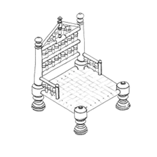
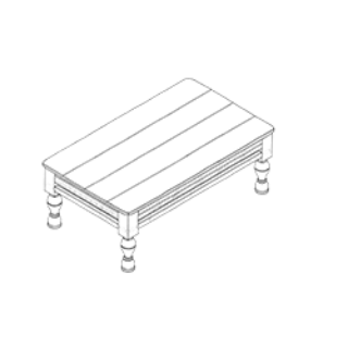
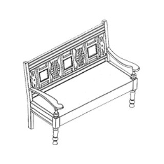
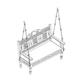
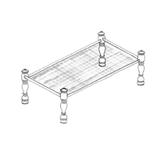
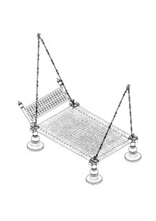
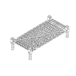
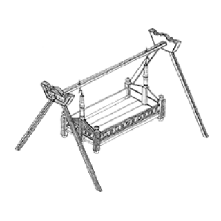
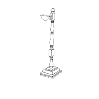
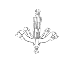
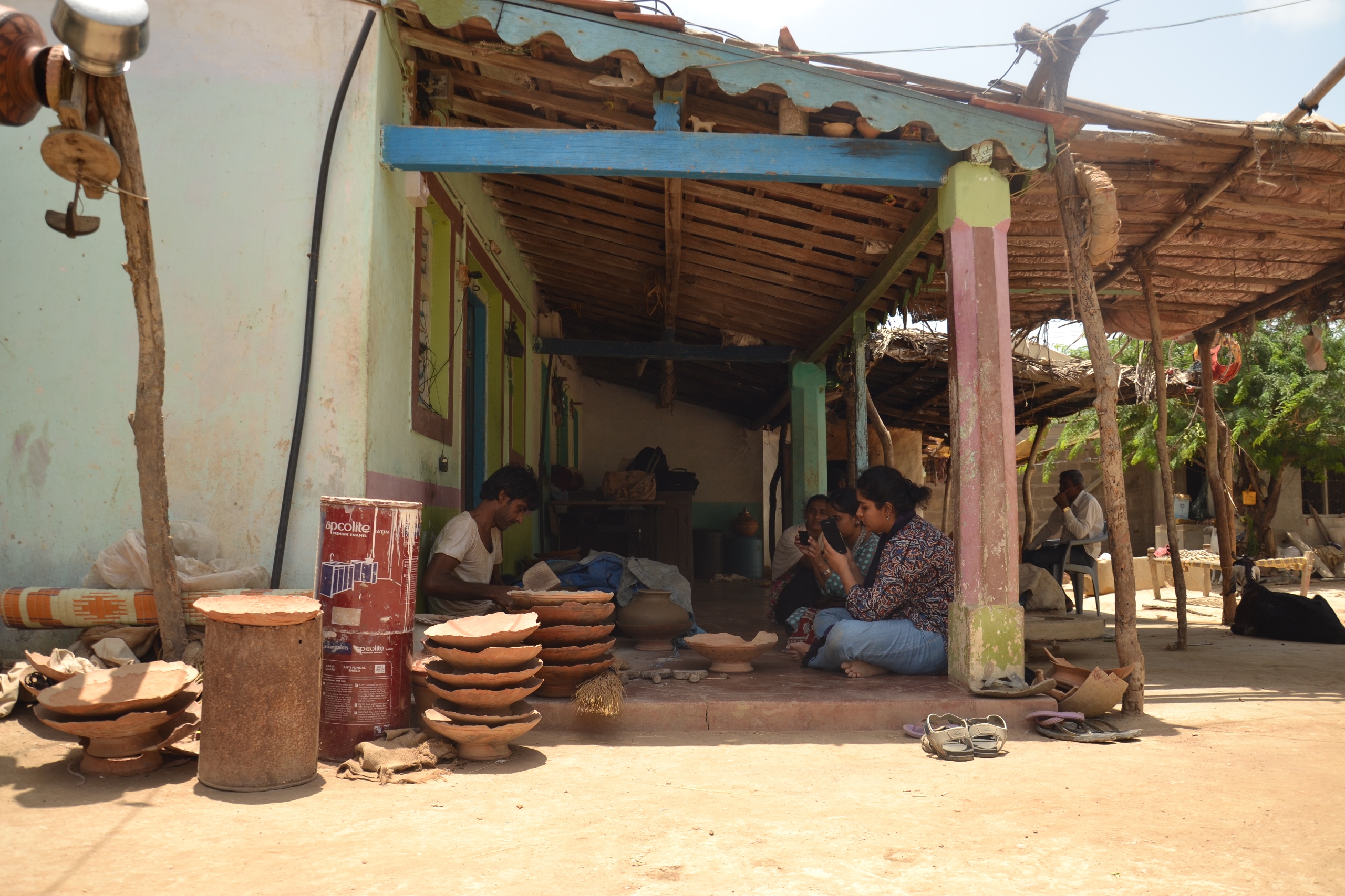
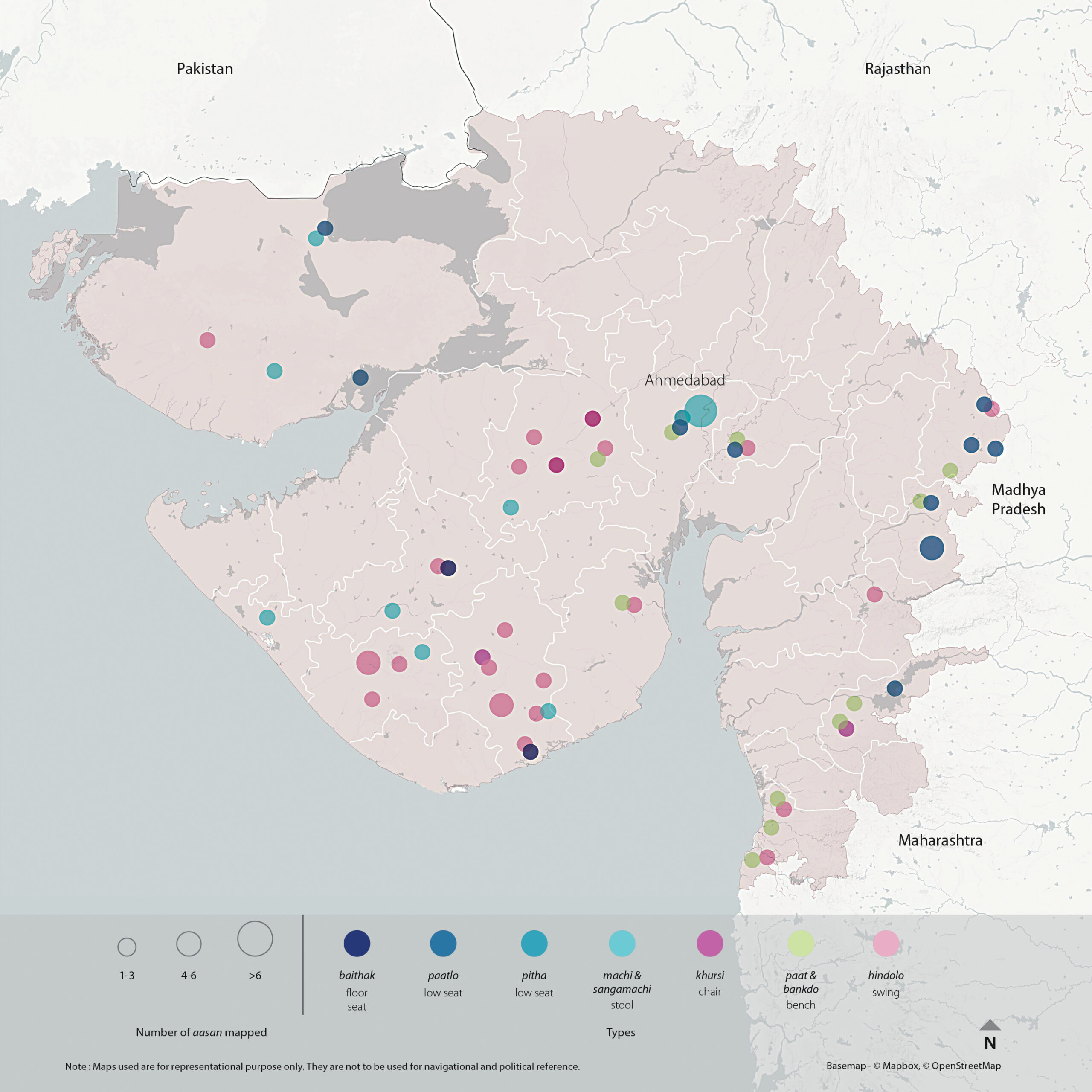
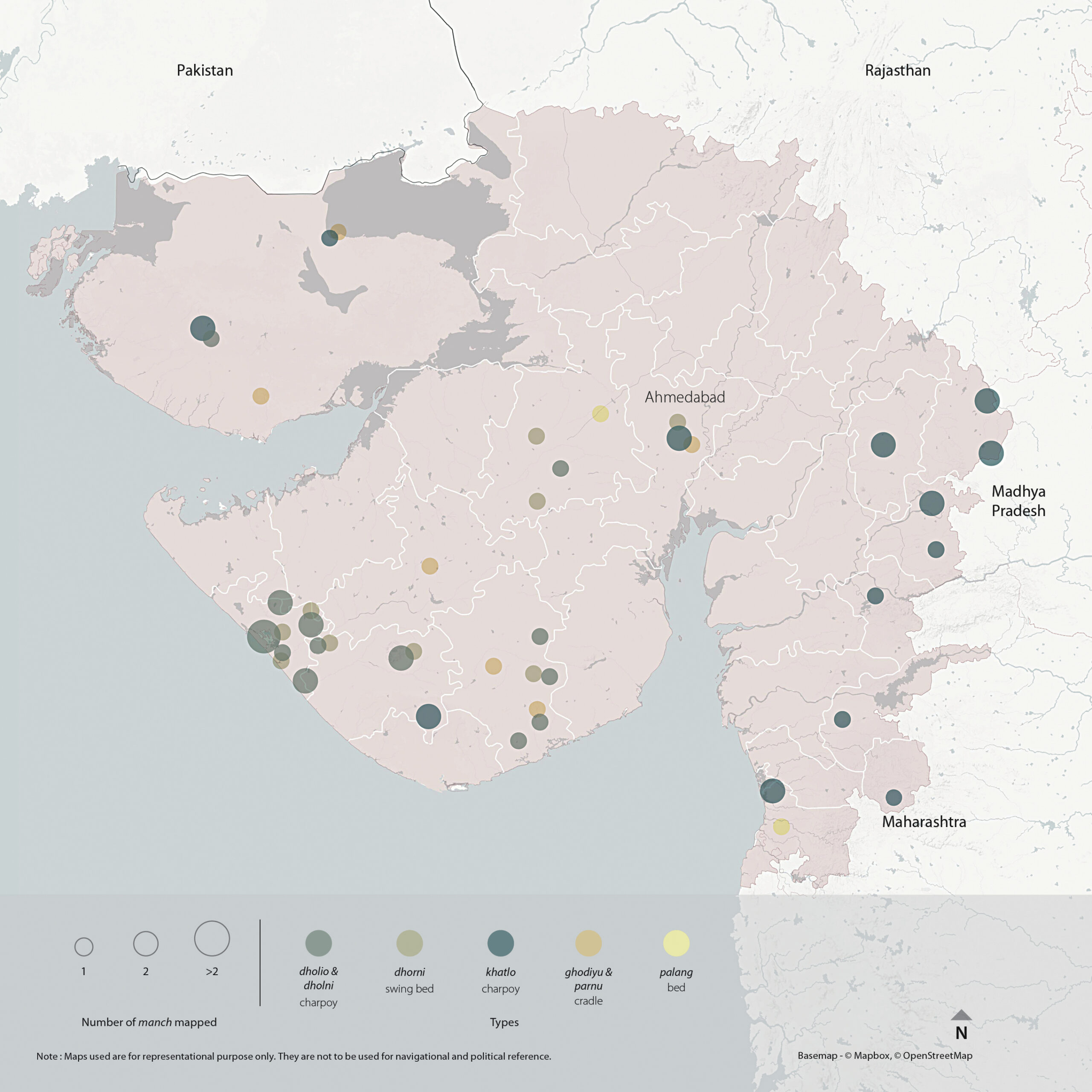
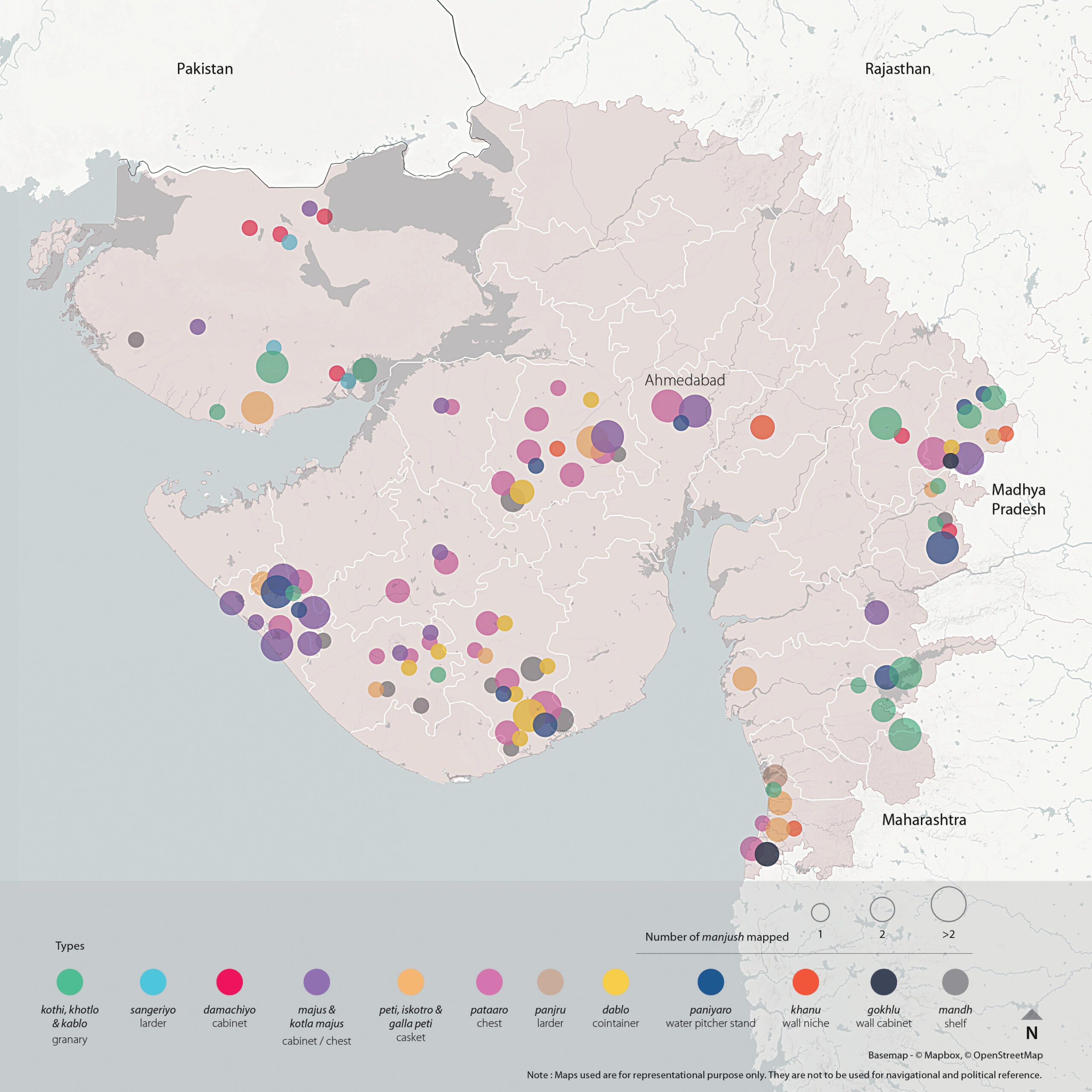
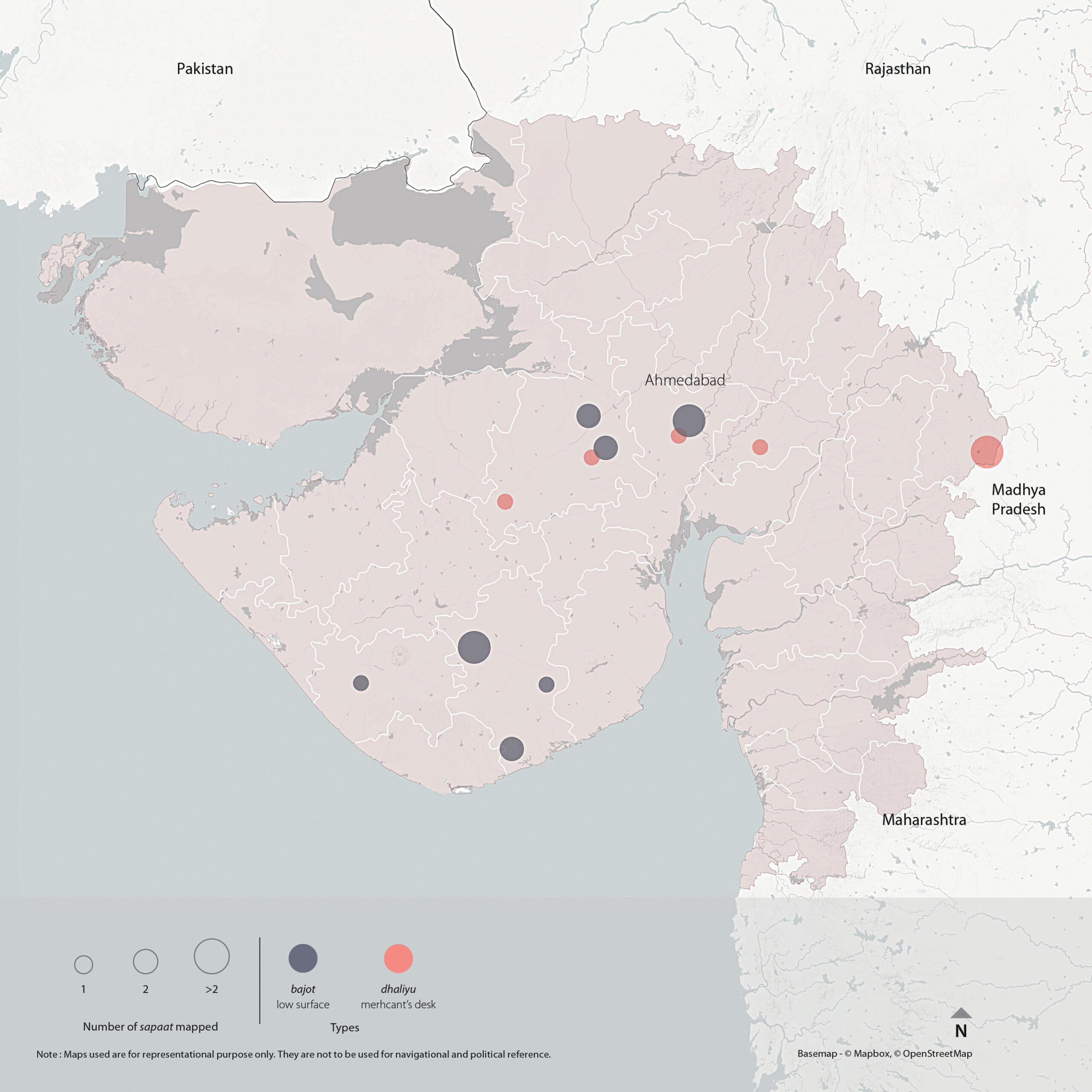
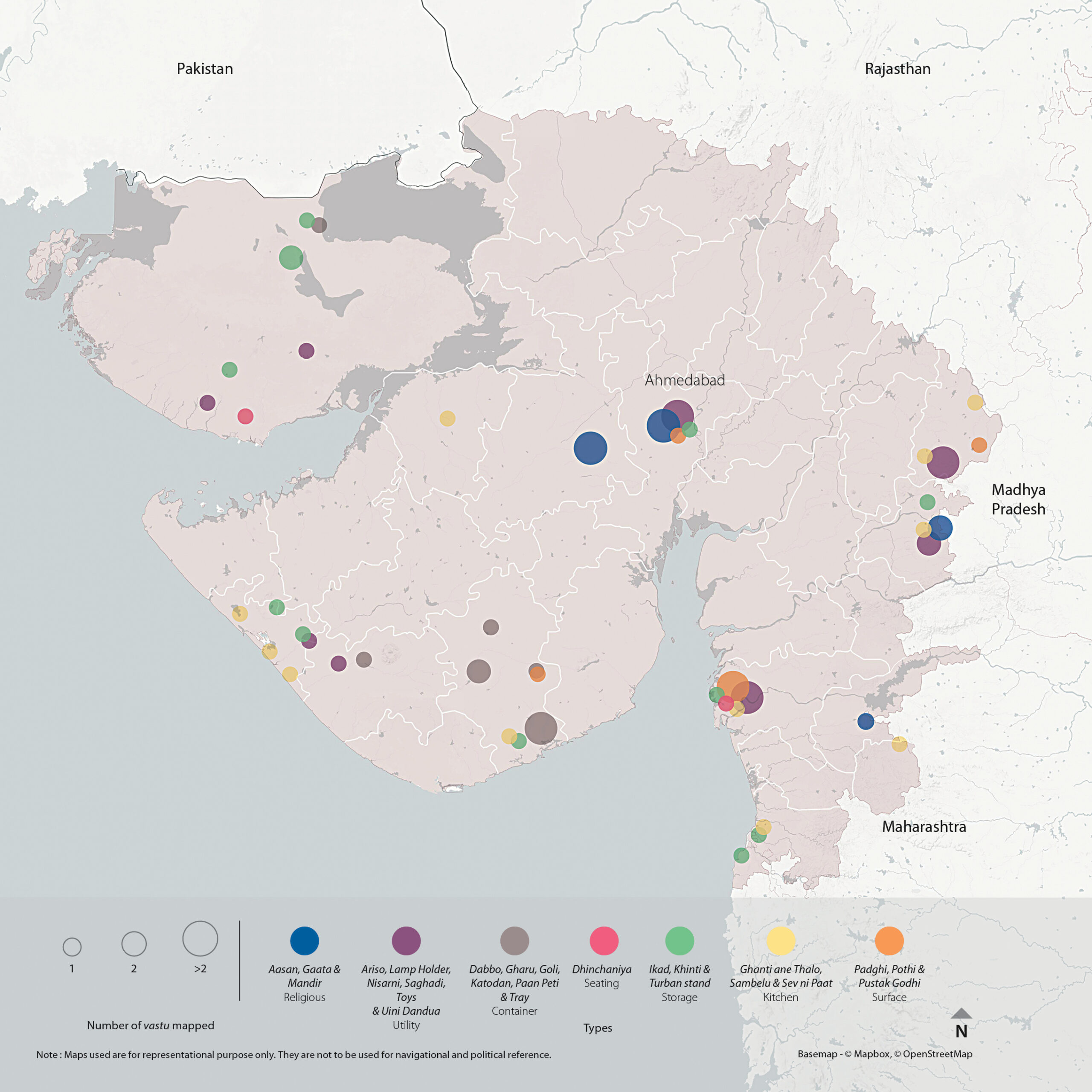
Typology of furniture- 31
Outputs- 14
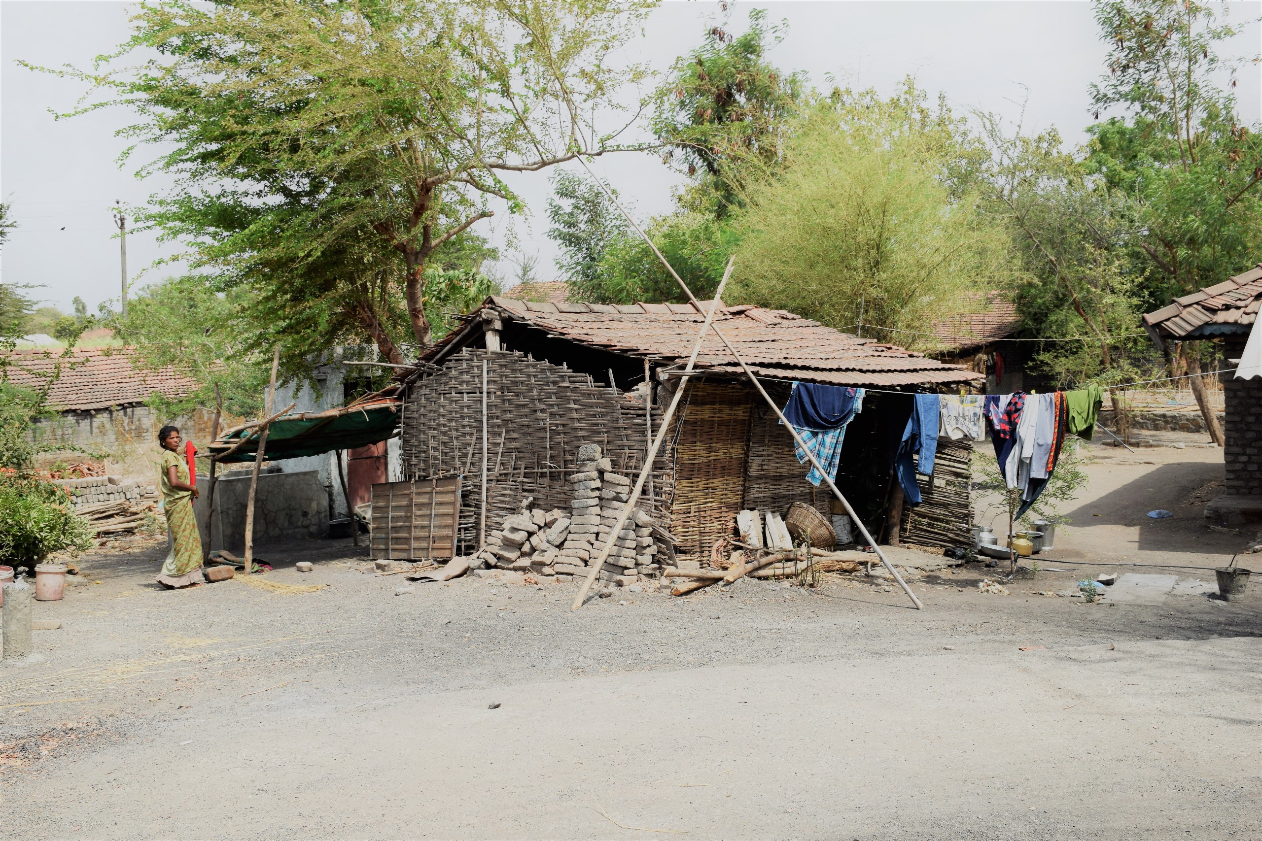
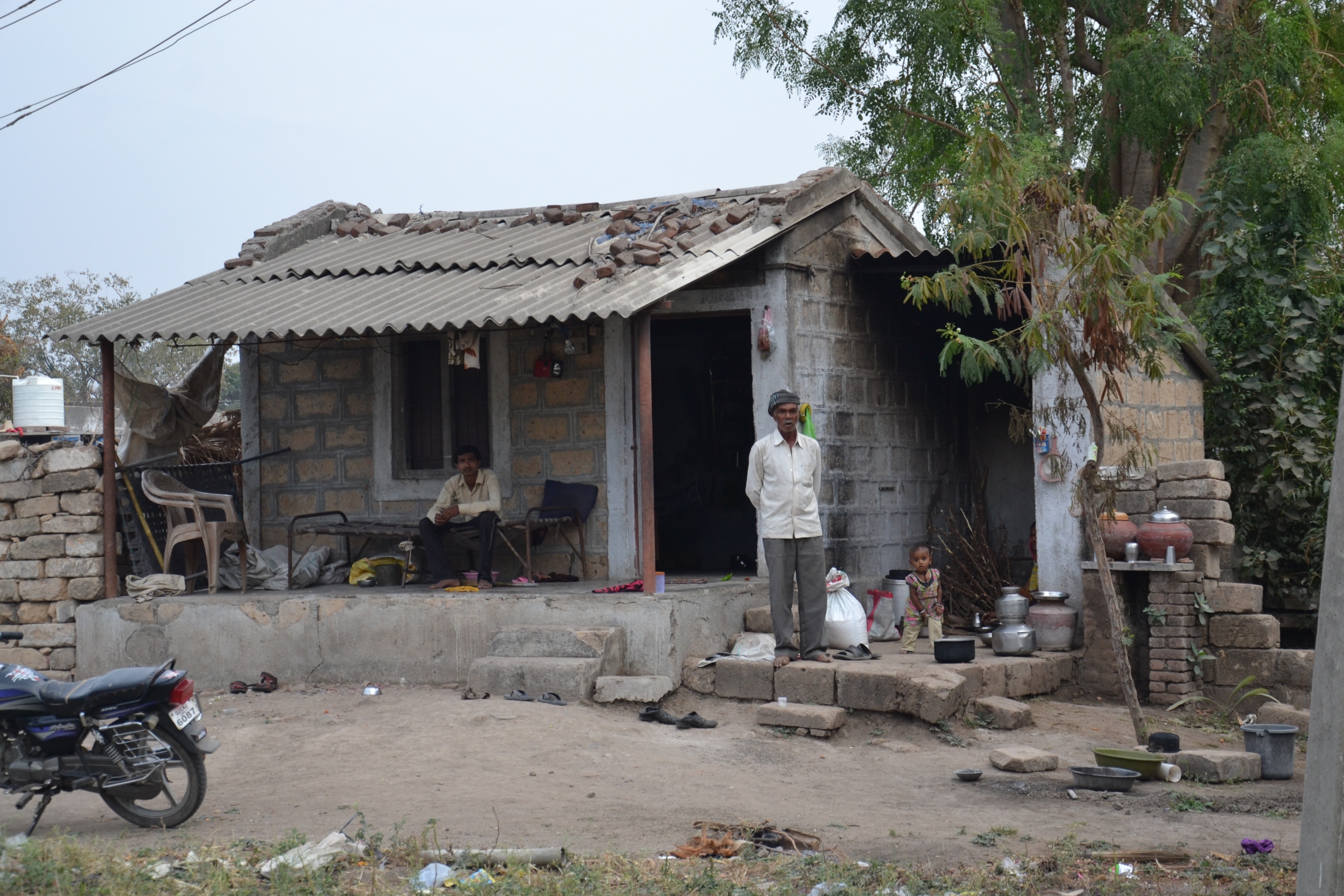
North Gujarat comprises of Banaskantha, Patan, Mehsana, Sabarkantha and Aravalli districts. It is hilly towards the eastern and north-eastern sides, with sandy plains to the west. The soil of this region is fertile in spite of its dry air. The population here is a mix of trading and agricultural communities, with a few Adivasi communities on the northern border of Gujarat. The vernacular language in this region is Gujarati with a hint of Mewari (a vernacular dialect of Southern Rajasthan).
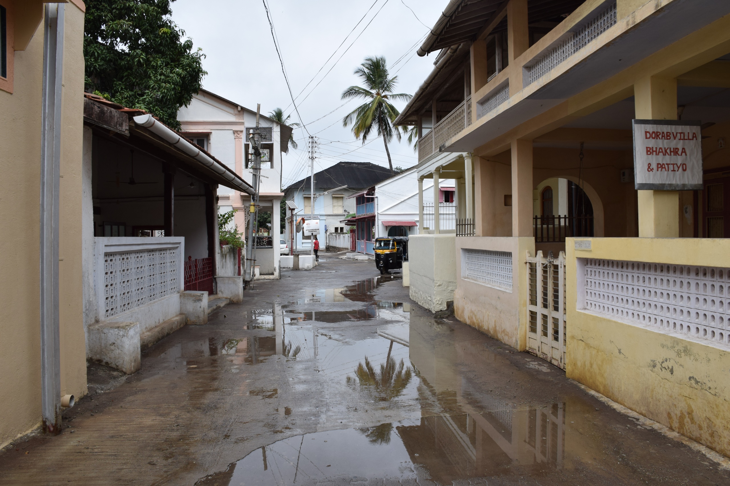
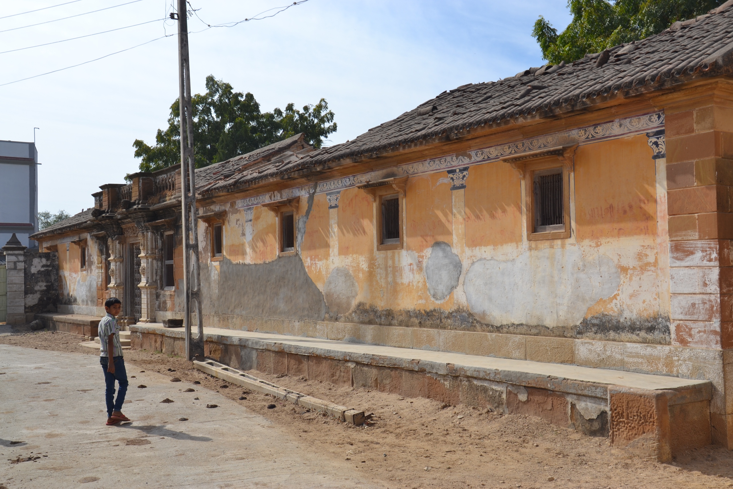
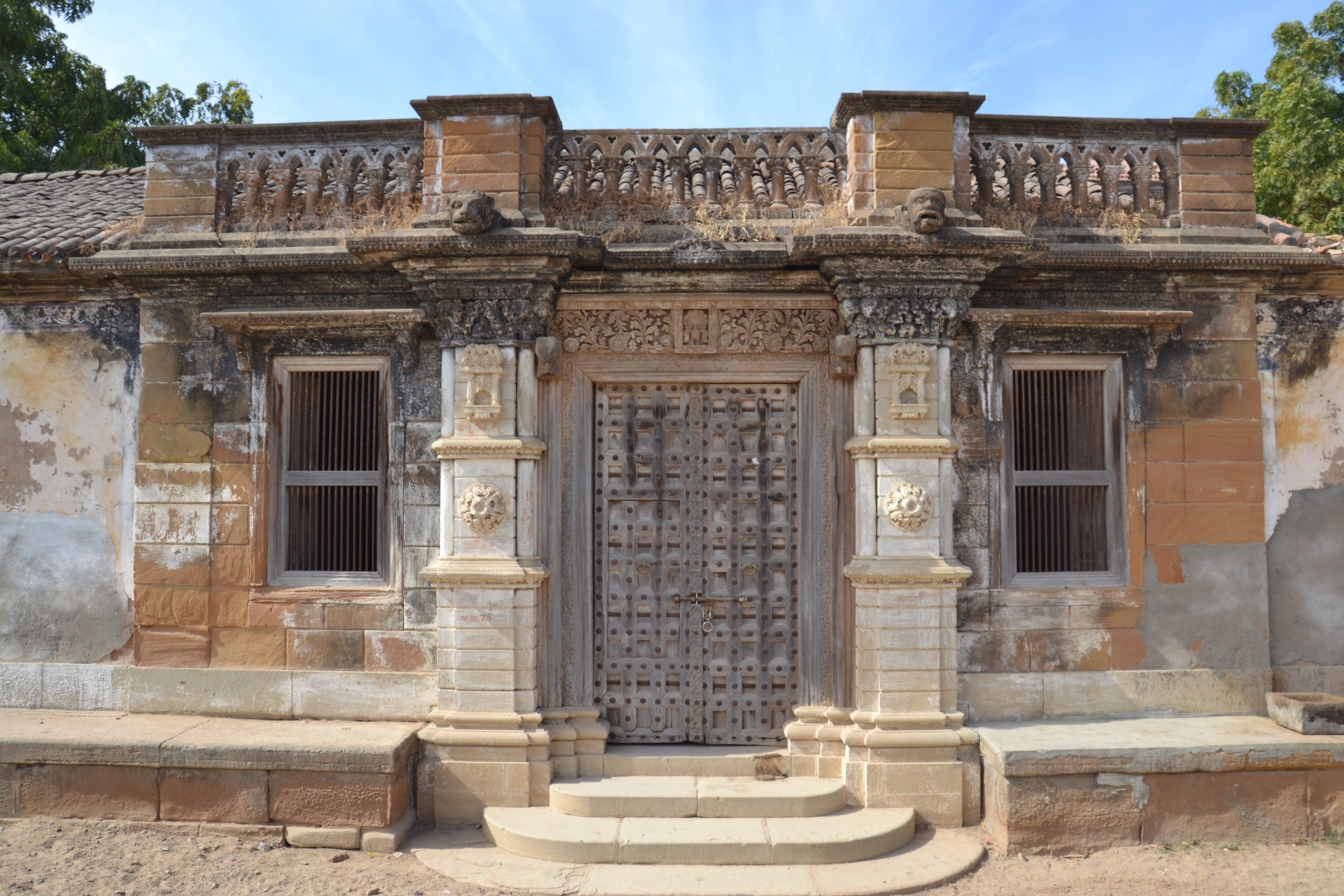
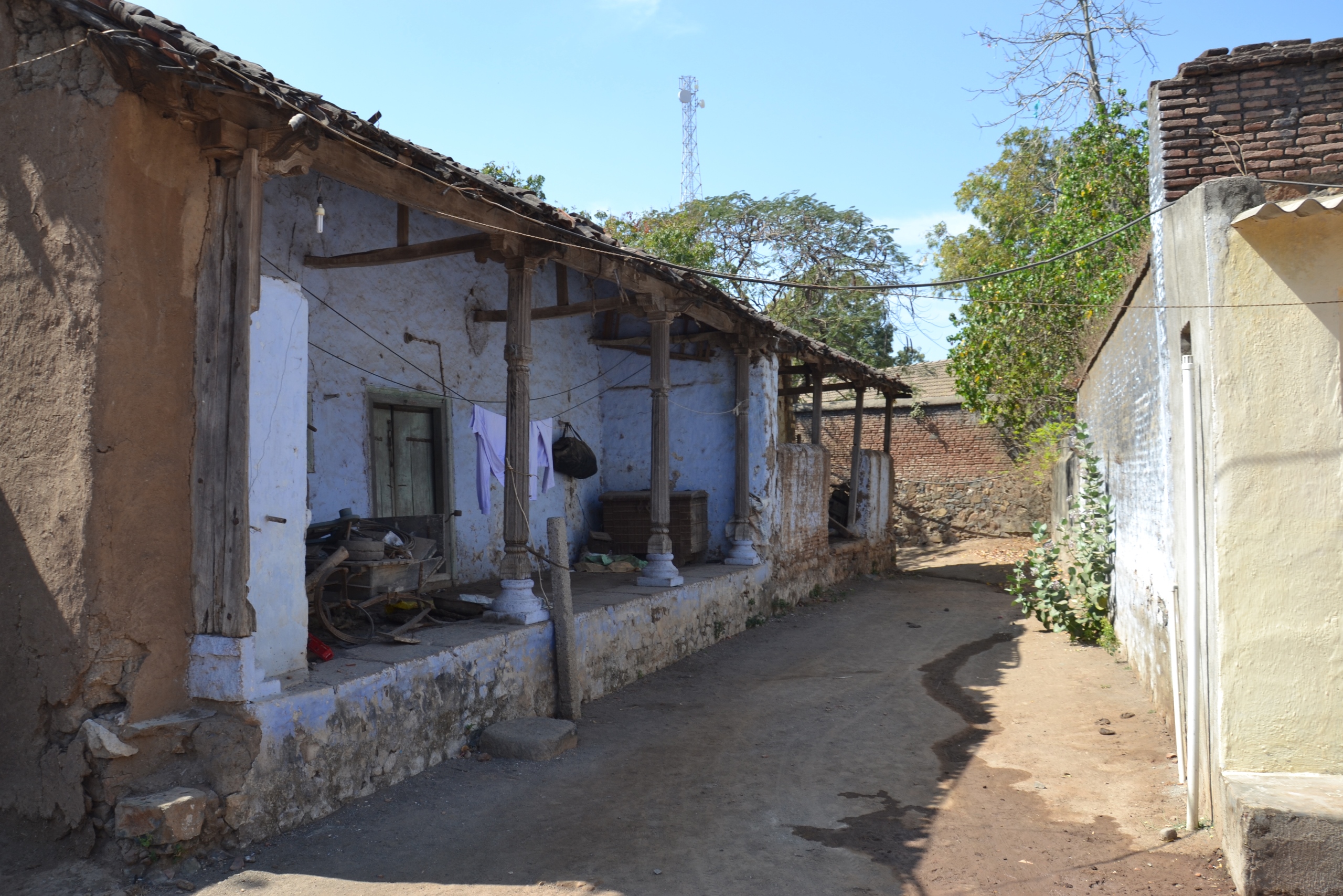
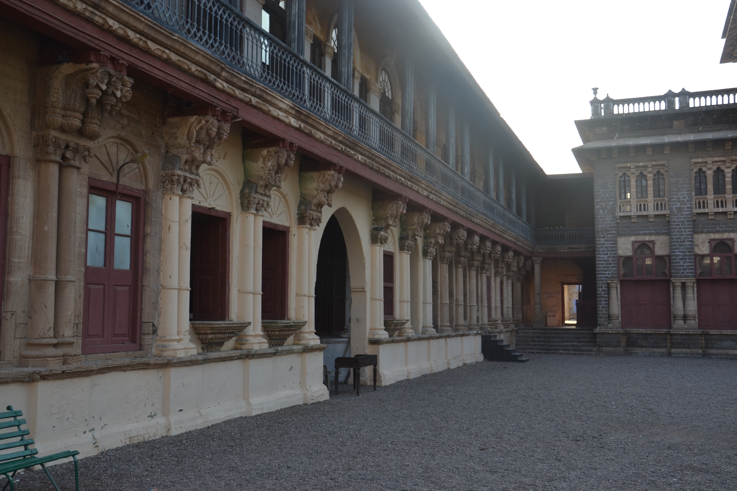
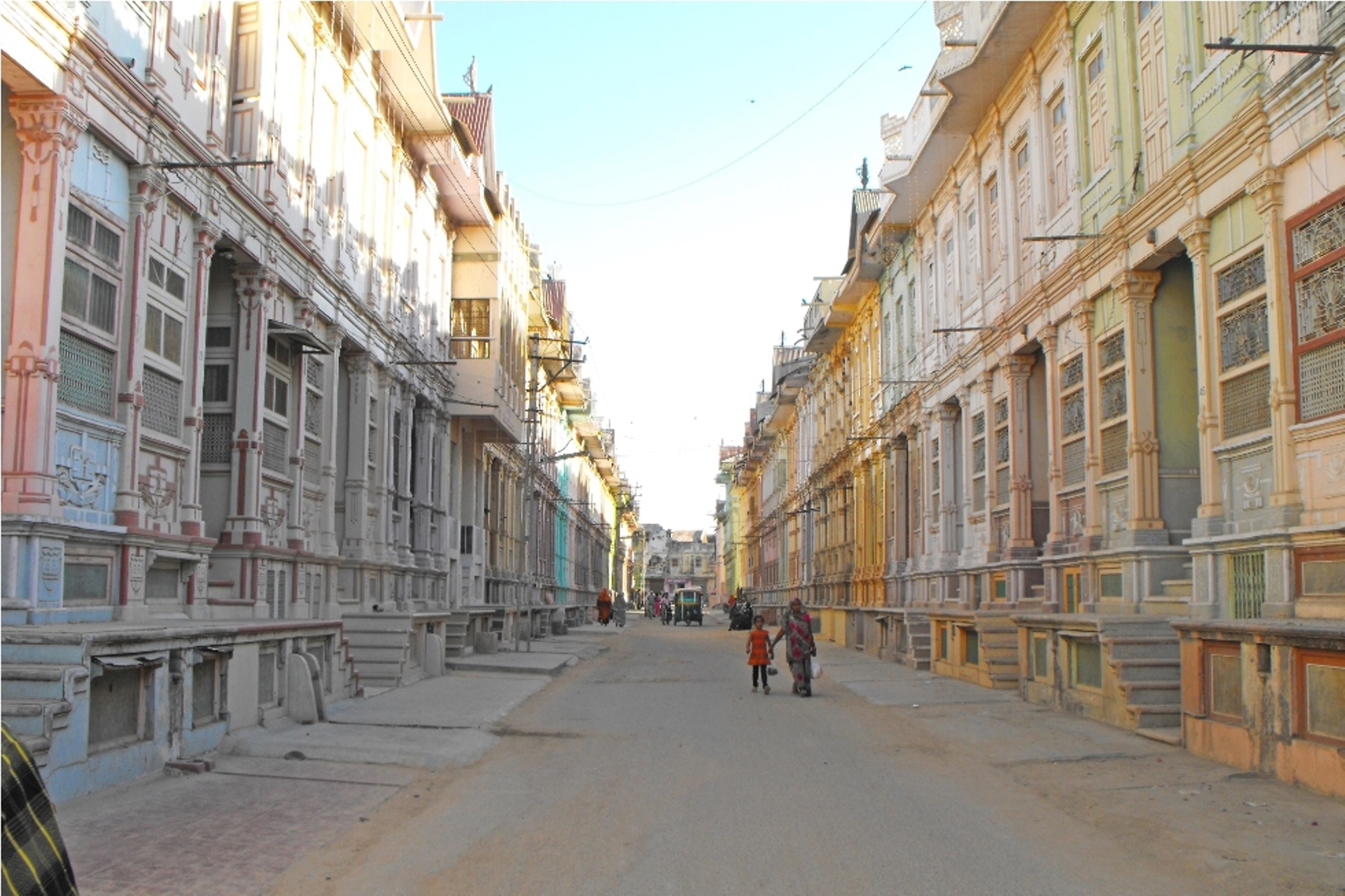
Central Gujarat is also known as Charuttar (char – four, uttar – flourishing), meaning, the land that flourishes from all four sides. The language of this region is called Charuttari, a dialect of Gujarati. Central Gujarat is the most urbanized region in Gujarat. This region comprises of Ahmedabad, Gandhinagar, Anand, Kheda, Vadodara and Bharuch districts.
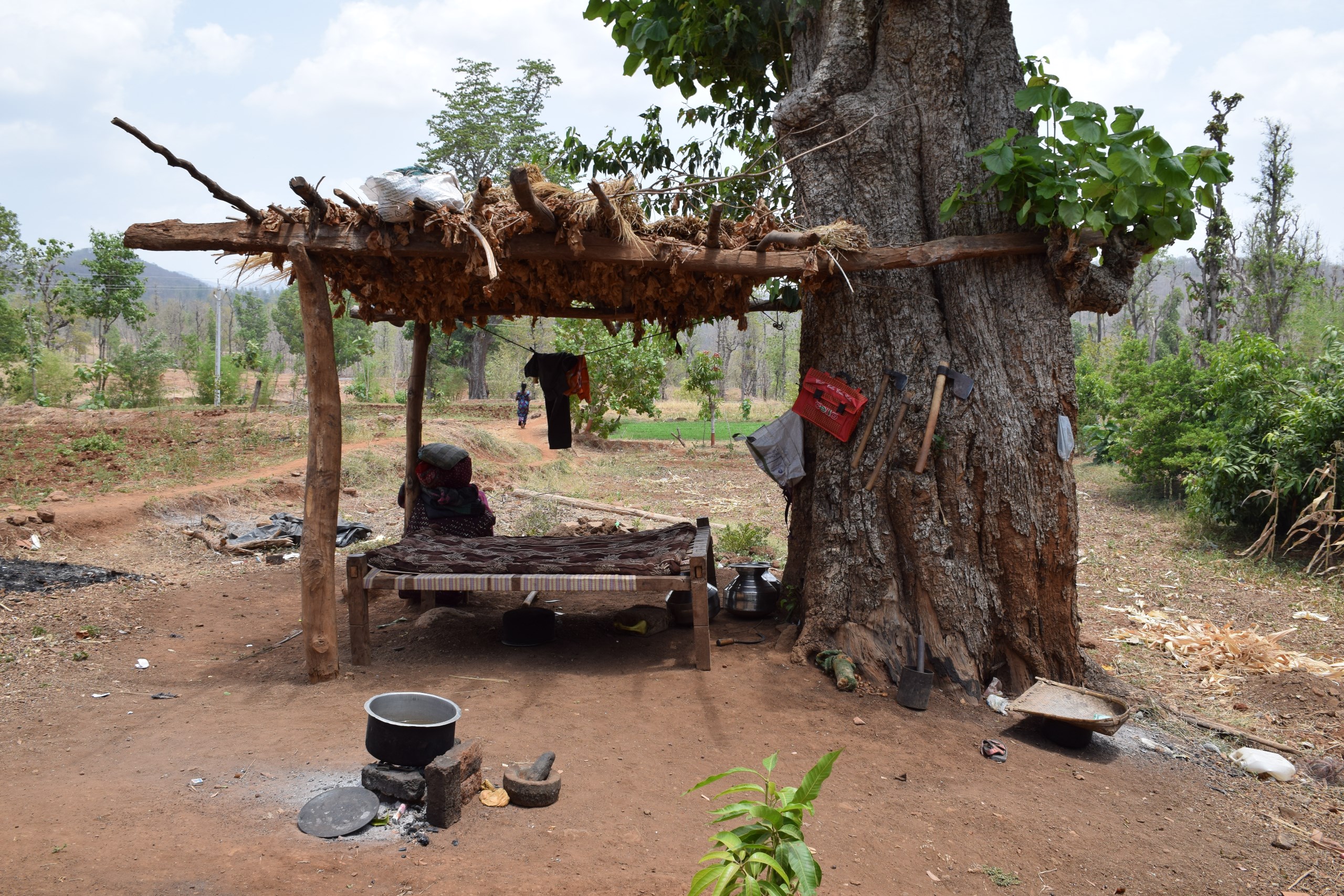
South Gujarat has a tropical climate with moderate to heavy rainfall. The western part of this region is a coastal expanse. The districts of Surat, Navsari and Valsad are urbanised trading districts. Dang and Tapi districts lying on the eastern side have thick forest covers of teak and bamboo . These forests are at the northernmost end of the Western Ghats that runs for 1600 kilometres up to the southernmost tip of India.
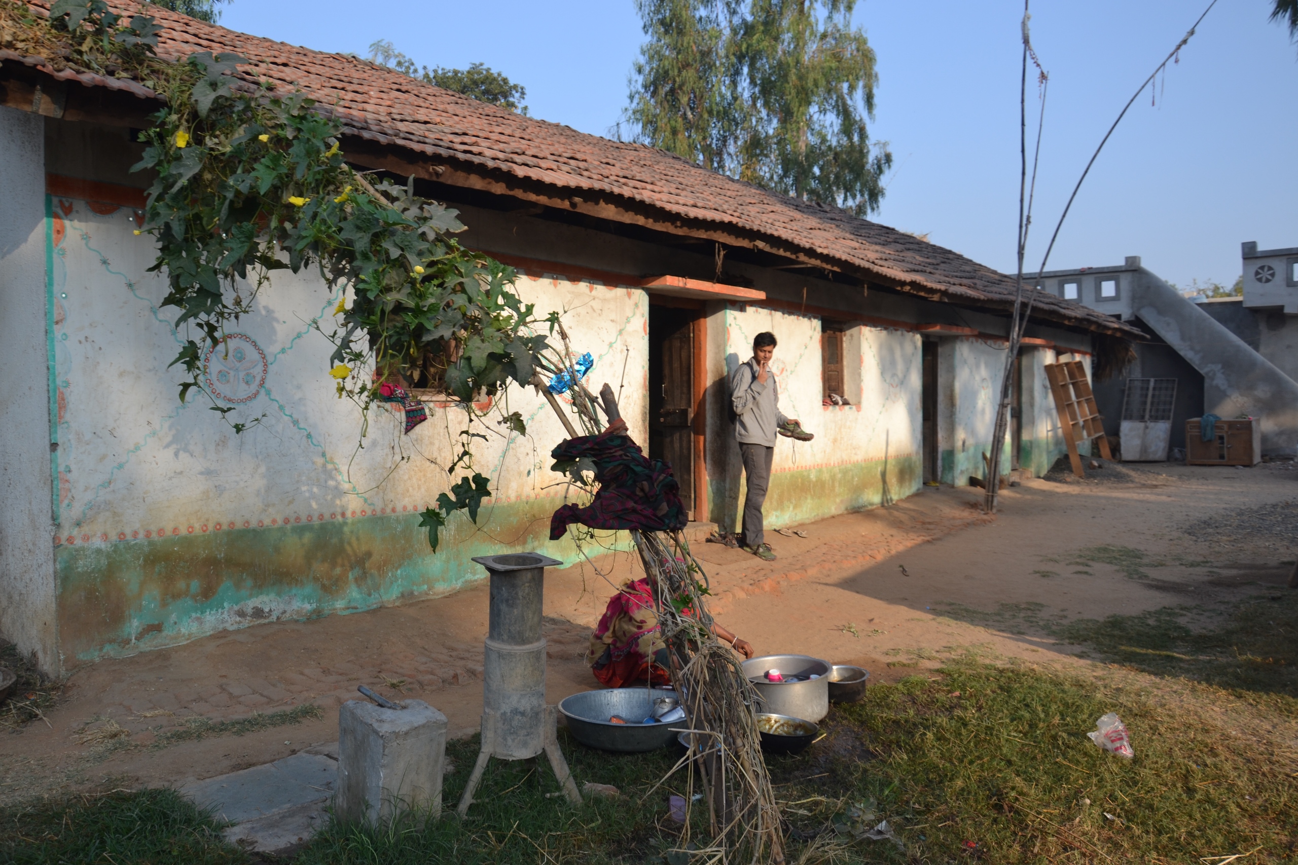
The easternmost part of Central Gujarat is referred to as East Gujarat for the purpose of this research. The districts in this region are Panchmahal, Mahisagar, Dahod, Chhota Udepur and Narmada. This region is home to several forest dwelling Adivasi communities. It receives moderate to heavy rainfall.
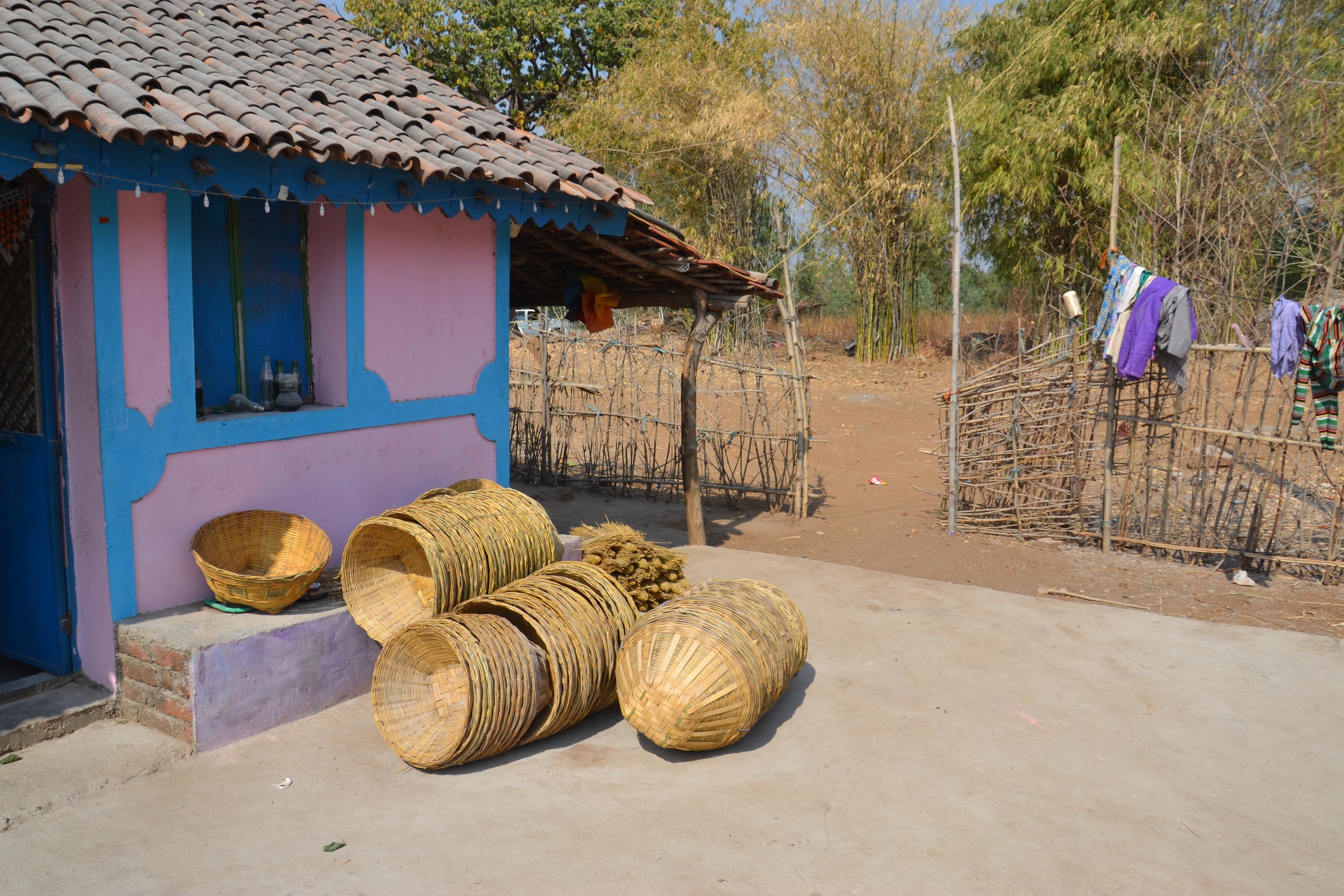
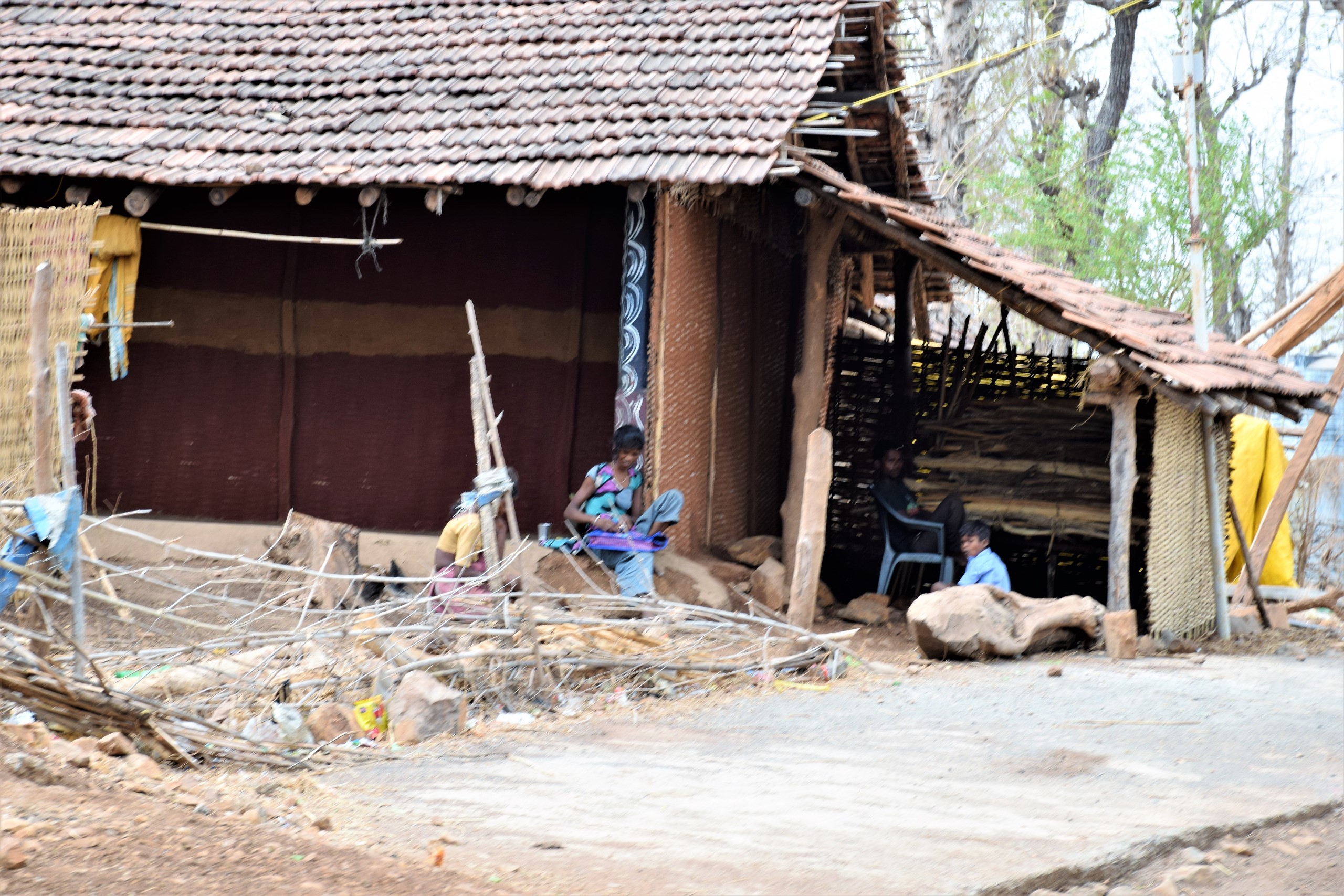
The north western most part of the state is Kutch with an area of 45,674 square kilometres. It is the largest administrative district of India. Most of this region is made up of shallow wetland, popularly known as Rann of Kutch. The wetland submerges in water during the rainy season and dries up during other seasons. The Banni grasslands form an arid belt on the southern edge of Rann of Kutch. These grasslands have a rich wildlife and biodiversity. The climate of Kutch being dry and arid, does not promote intensive agriculture. Crafts like pottery, beadwork, metalwork, textile are a few amongst a variety practiced in Kutch. The people of this region speak Kutchi which is similar to Gujarati.
Saurashtra, also known as Kathiawar, is a peninsula formed of undulating plains with a long coastline. A large number of fishing communities can be found in this region. Other occupations practiced in this region, include farming and cattle herding. Saurashtra is made up of 11 districts and occupies one-third of the state. Saurashtra comprised of nearly 200 princely states till the time of India’s independence in 1947. The name Kathiawar comes from the historic dominance of the Kathi community in the region.
Loading places visited..

Vernacular Furniture of Gujarat – Newsletter 1
Newsletters
December 2015
Vernacular Furniture of Gujarat – Newsletter 2
Newsletters
January 2016
Vernacular Furniture of Gujarat – Newsletter 3
Newsletters
February 2016
Vernacular Furniture of Gujarat – Newsletter 4
Newsletters
March 2016
Vernacular Furniture of Gujarat – Newsletter 5
Newsletters
July 2016
Vernacular Furniture of Gujarat – Newsletter 6
Newsletters
August 2016
Gujarat Field visit 1
Activities
March 2016
Gujarat Field visit 2
Activities
February 2016
Gujarat Field visit 3
Activities
January 2016
Gujarat Field visit 4
Activities
February 2016
Gujarat Field visit 5
Activities
December 2015
Gujarat Field visit 6
Activities
July 2016
Gujarat Field visit 7
Activities
August 2016
Book launch – Sahaj : The Vernacular Furniture of Gujarat book
Activities
October 2018
Sahaj : The Vernacular Furniture of Gujarat book
Papers and Articles
October 2018
Report on Vernacular Furniture of Gujarat at SADACC Trust, Norwich, UK
Author:
Mitraja Bais
Reports
2017
Report on Wooden Architecture Collection of Gujarat at SADACC Trust, United Kingdom
Author:
Jay Thakkar
Reports
2016